5-Day The Ancient Ports: A Maritime History Trail through Mantai and the Mannar Straits

5-Day The Ancient Ports: A Maritime History Trail through Mantai and the Mannar Straits

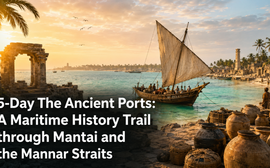
There are places in Sri Lanka where the weight of history is not in the monuments but in the geography itself. Mantai is one of them. Stand at the northern tip of the island, where the land flattens into a narrow shelf above the shallow waters of the Palk Strait, and you are standing at a place where the ancient world’s trade routes converged for over a thousand years. Arab merchants, Roman traders, Indian pilgrims, Chinese diplomats — they all came through here. The port they used is gone now, its ruins half-buried in scrub, its harbour silted over. But the geography that made it important has not changed. The sea is still the same sea. The crossing to India is still only thirty kilometres wide.

This is a journey for the traveller who wants to feel the weight of that geography rather than simply read about it. Five days through the Mannar Straits, from the ruins of Mantai to the flamingo grounds of the Giant’s Tank, along a coast that was once among the most commercially significant in Asia and has since been allowed to return quietly to itself.

Day 1 – Arriving in Mannar

The drive from Colombo to Mannar takes around five hours via the A9 highway through Vavuniya, the road passing through the dry zone interior before the landscape flattens completely and the causeway to Mannar Island appears across the shallow lagoon. The crossing takes only a few minutes but the transition is immediate. The island is flat, wind-scoured, and considerably quieter than anything on the mainland. The vegetation is sparse. The light is hard and bleaching in the afternoon.

Arrive in time for a late lunch at Baobab Restaurant on the Mannar main road, a small family-run establishment that serves a good Tamil-style fish curry with rice and three accompaniments for around four hundred rupees. The restaurant takes its name from the extraordinary baobab trees that grow across the island, planted by Arab traders between the 9th and 12th centuries and now among the oldest living things in Sri Lanka. Ask the owner about the nearest baobab grove and he will draw you a map on a paper napkin without being asked.

For accommodation, Palmyra House in Mannar town is the most dependable option, a clean guesthouse with a knowledgeable owner who understands the island’s history in considerable depth and can arrange transport to the sites. For travellers who prefer slightly more comfort, Mannar Guest Inn offers mid-range rooms with air conditioning and a small restaurant that handles breakfast well.

Spend the first evening walking the Portuguese fort at the entrance to Mannar town. Built in 1560 and modified by the Dutch after they took it in 1658, the coral-block walls are still largely intact, the interior now partially occupied by a small resident community who have built homes within the old ramparts. The combination of the fort’s age and its continued habitation gives it a lived-in quality that more carefully preserved monuments sometimes lack.

Day 2 – The Baobab Trees and the Salt Flats

The baobab trees of Mannar Island are the detail that stops every visitor in their tracks. There are around eight hundred of them scattered across the island’s flat interior, their swollen trunks completely out of proportion to the scrub surrounding them. The oldest are believed to be over a thousand years old and were planted as landmarks and water sources by Arab traders on the Indian Ocean crossing. Standing beside one of the largest, in the flat white light of a Mannar morning, with the Gulf of Mannar visible through the scrub and the wind coming in steady off the water, requires no interpretation. It simply is what it is.

The Ancient Baobab Tree near Pallimunai village on the western shore is the most famous on the island and is believed to be over seven hundred years old. Its trunk circumference is extraordinary, and the shade it casts at midday covers an area that the local community uses as a gathering point with an ease that suggests generations of the same practice.

The salt flats along the northern edge of the island are a second significant feature of the Mannar landscape. The Portuguese-era salt trade infrastructure, visible in the old evaporation pans and the remnants of storage buildings along the coast road, represents one of the more tangible pieces of colonial economic history on the island. The salt is still produced here, the pans still flooded and dried in the same seasonal cycle, and the workers who tend them do so against a backdrop of coastal scrub and open sky that has not changed significantly in four centuries.

For lunch, the small Muslim Hotels along the Mannar main street serve a rotating fish curry and rice that changes daily depending on what came in that morning. The flatbread served alongside, baked fresh in the wood-fired oven visible through the kitchen doorway, is worth the visit on its own.

Day 3 – The Ruins of Mantai

The ruins of Mantai sit near the village of Thirukketiswaram on the northern tip of Mannar Island, at the end of a road that deteriorates steadily and arrives at a site of considerable historical significance with almost no visitor infrastructure whatsoever. There is no entrance gate, no signage, no car park. There is a low mound in the scrub, partially excavated and partially overgrown, and the remains of what was once one of the busiest ports in the Indian Ocean world.

Archaeological excavations at Mantai have recovered Roman coins, Chinese porcelain, Persian glass, and South Indian gold, the material evidence of a trading network that connected this small port to the Mediterranean in the west and to the South China Sea in the east. The site was occupied continuously from at least the 3rd century BC to the 13th century AD, when it was finally abandoned following successive invasions from South India.

Walking across the site with this knowledge active in your mind changes what you see. The low earthworks become warehouse floors. The pottery fragments visible in the eroded sections of the mound become evidence of transactions conducted in a dozen languages. The view north across the shallow strait to the Indian coast, visible on clear days as a faint dark line on the horizon, becomes the most important geographical fact of the entire site. Everything that made Mantai matter is still visible. You simply have to supply the history yourself.

Bring water, a hat, and food from Mannar town. There is nothing for sale within several kilometres of the ruins and the midday heat in this exposed landscape is significant.

Day 4 – Talaimannar and the Crossing

Talaimannar sits at the westernmost tip of Mannar Island, the point from which the chain of small islands and sandbanks known as Adam’s Bridge extends toward the Indian coast thirty kilometres away. The shallow water here, rarely more than a metre deep across much of the crossing, was used for millennia by pilgrims, traders, and invaders moving between the two landmasses.

The old Talaimannar Pier, built by the British in 1914 to serve the ferry service between Sri Lanka and India, extends into the sea in a state of considerable disrepair. The ferry service was suspended in 1983 at the outbreak of the civil war and has not been reliably restored since. The pier itself is now used by local fishermen and by the occasional visitor who wants to walk as far out into the strait as the deteriorating structure allows.

The view from the end of the pier on a clear morning, with the Indian coast faintly visible ahead and the chain of islands stretching away on either side, is one of the more affecting geographical experiences available in Sri Lanka. You are standing at the edge of the island in every sense, looking across a stretch of water that has been crossed by more people, carrying more different intentions, than almost any comparable passage in Asia.

For the evening, return to Mannar town and eat at Hotel Rosy on the main street, a simple restaurant that serves an excellent crab preparation in the evenings when the catch has been good. Order in advance through your guesthouse if possible, as the crab runs out early on busy nights.

Day 5 – The Giant’s Tank and the Return

The Giant’s Tank, built by King Mahasena in the 3rd century AD and one of the largest ancient reservoirs in Sri Lanka, sits on the mainland side of the Mannar causeway and is the final significant stop on this route. The tank is now a wildlife sanctuary of considerable importance, its shallow waters and surrounding scrub supporting large flocks of flamingos, pelicans, painted storks, and a resident elephant population that moves through the area between the tank and the surrounding dry zone forest.

Visit in the early morning when the birds are most active and the light on the water is at its best. The flamingo flocks, when present, number in the hundreds and their pink against the pale water and the blue sky behind has a quality that photographs struggle to capture accurately. A local guide from the Mannar area can arrange a morning at the tank for around one thousand five hundred rupees including transport.

The drive back to Colombo from Mannar takes around five hours via Vavuniya and the expressway. Stop at Vavuniya Rest House for lunch on the return, a government-run property on the main road that serves a reliable rice and curry at midday and is well-positioned for the halfway point of the journey. The final stretch into Colombo arrives in the late afternoon, and the city, when it appears, feels considerably further from Mannar than five hours suggests.

Practical Notes

The best time to visit is between December and April when the north-east monsoon has cleared and the island is at its most accessible. The flamingo population at the Giant’s Tank is most reliable between November and March. Carry cash throughout as ATM access on Mannar Island is limited to the main town. The road to Mantai requires a vehicle with reasonable ground clearance and the final section is best attempted in a four-wheel drive or a confident tuk-tuk driver who knows the route.
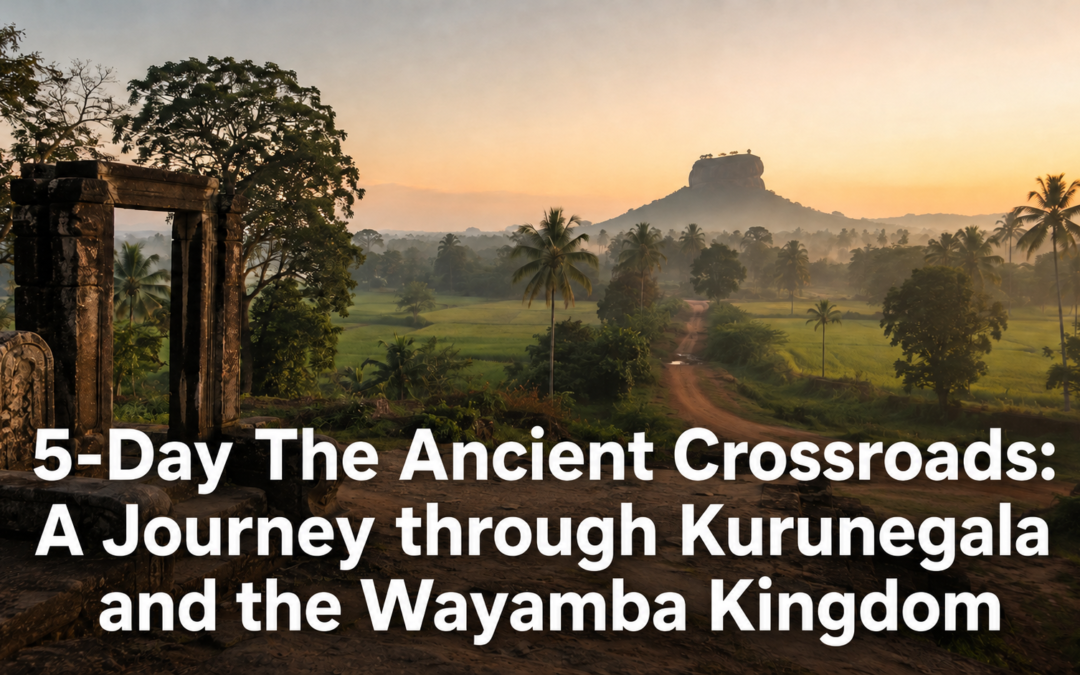
5-Day The Ancient Crossroads: A Journey through Kurunegala and the Wayamba Kingdom

5-Day The Ancient Crossroads: A Journey through Kurunegala and the Wayamba Kingdom

The Kandyan kingdom gets the attention. Its temples, its dance traditions, its hill country setting, its carefully preserved royal history — all of it is well documented and well visited. But the kingdom that preceded it in the North Western Province, the Wayamba kingdom centred on Kurunegala and its surrounding tank systems, left its traces across a landscape that most travellers pass through on the way to Kandy without stopping. Palace ruins sitting in agricultural fields without signage. Inscription rocks in village temple compounds that the surrounding community uses daily without particular awareness of their antiquity. Water gardens that predate the Kandyan period by three centuries and still function.

Five days through the Wayamba kingdom’s landscape covers the medieval Sri Lanka that the cultural triangle circuit leaves out, moving between the Panduwasnuwara palace complex, the Ridi Vihara monastery circuit, and the village temple culture of the Kurunegala basin in a journey that asks for attention rather than spectacle and rewards it accordingly.

Day 1 – Kurunegala and the Medieval Capital

Kurunegala was the royal capital of the Wayamba kingdom between approximately 1293 and 1341 AD, a period of considerable political instability during which the centre of Sri Lankan power shifted repeatedly between competing dynasties. The town that exists today gives almost no indication of that history from the main road, which is part of what makes arriving with that knowledge active in your mind a different experience from arriving without it.

Walk the Kurunegala Wewa tank road in the late afternoon. The tank, built during the medieval period and still irrigating the surrounding agricultural land, reflects the Ethagala Rock above the town in the early morning with a stillness that the busy main road a hundred metres away does nothing to disturb. The rock itself, climbed in twenty minutes by the path above the town, gives a view across the surrounding plain that makes the medieval logic of this location immediately clear. The tank system visible below, the flat agricultural land spreading outward from the town in every direction, the granite outcrops rising from the plain at intervals, all of it speaks of a landscape that was chosen for its resources rather than its scenery.

For dinner, Hotel Acme on Colombo Road serves a good rice and curry from six in the evening with a devilled cuttlefish that the local population considers a reliable standard. For accommodation, Kurunegala Rest House on the tank road is the most atmospheric option, a government property whose veranda overlooks the old tank. Diya Dahara Hotel on Colombo Road handles mid-range comfort reliably for those who prefer something more modern.

Day 2 – Panduwasnuwara and the Palace Ruins

The Panduwasnuwara palace complex sits about thirty kilometres north-west of Kurunegala, in a flat agricultural landscape that gives no obvious indication of what it contains. The site dates from the 12th century and served as a royal residence during the period of King Parakramabahu I, the same king who built the Parakrama Samudra at Polonnaruwa. The palace ruins here are not Polonnaruwa in scale or in state of preservation, but they have something that Polonnaruwa’s more managed monuments lack entirely.

The site is largely unexcavated beyond the central palace mound and the surrounding moat system. The moat, still water-filled and functioning as it was designed, encloses a raised platform where the palace structure once stood, and the combination of the water barrier and the raised interior gives you an immediate physical sense of how a medieval Sri Lankan royal residence organised its space. The surrounding village has grown up around the ruins in the casual, integrated manner of a community that has always lived alongside its history without making a particular fuss about it.

The entrance requires a small donation at the site office rather than a formal ticket, and the caretaker is usually willing to walk the main structures with visitors and explain the excavation history in a mixture of Sinhala and whatever English is available. Allow two hours. Bring water from Kurunegala as there is nothing available at the site.

For lunch on the return, Hotel Rasa in the nearby town of Maho serves a good fish curry from eleven in the morning. The tank fish preparation here, made with freshwater species from the surrounding irrigation system, has a lighter, cleaner flavour than the coastal preparations and is worth ordering specifically.

Day 3 – Ridi Vihara and the Monastery Circuit

The Ridi Vihara complex, about thirty kilometres south-west of Kurunegala, rewards a full day of careful attention rather than the two-hour visit that most passing travellers give it. The lower cave temple with its Dutch Delft tiles and its well-preserved Kandyan paintings is the best-known section, but the upper cave hermitage above it and the series of smaller shrines on the surrounding hillside contain layers of the site’s history that the lower temple does not reveal.

Arrive before the morning puja at eight, when the lower temple is quiet and the light through the cave entrance falls directly across the Dutch tiles in a way that makes their incongruous beauty most apparent. The blue and white Delft tiles, brought as offerings by the Dutch East India Company in the 17th century and set into the cave walls alongside the older Sri Lankan painting tradition, should feel wrong in this context and somehow do not. Spend an hour in the lower cave before climbing to the upper section.

The upper hermitage caves, reached by a steep path above the main complex, were used by forest-dwelling monks before the lower temple was developed and retain an atmosphere of genuine austerity that the more finished spaces below have lost. The traces of very early painting in the better-sheltered sections, faded almost to nothing but still legible in the low morning light, are among the oldest surviving examples of Sri Lankan cave painting outside of Sigiriya.

The small tea shop at the base of the temple entrance, run by a family from the village below, serves plain tea and coconut roti from early morning. A tea and two rotis costs about one hundred and fifty rupees and is the correct breakfast for a morning at a cave temple.

For accommodation on this day, returning to Kurunegala keeps the logistics simple. The Kandy House, about an hour’s drive toward Kandy, is worth considering as a base for the remaining days if a heritage property appeals, its converted manor house setting and excellent kitchen making it one of the finest mid-range to upper-range properties in the central province.

Day 4 – Arankele and the Water Gardens

The Arankele forest hermitage north of Kurunegala requires the full morning and a willingness to sit quietly in a forest for longer than is strictly necessary, which is the correct attitude for a site built around the practice of meditation. The stone platforms and pathways of the 6th-century monastery sit in a jungle that has been allowed to continue its relationship with the ruins honestly, trees growing through the meditation walkways and roots lifting the stone pathways in a process of gradual reclamation that will, over centuries, return the site to forest entirely.

Bring food and water from Kurunegala. There is nothing available near Arankele, which is entirely appropriate to the site’s original purpose. A packed lunch eaten on one of the stone platforms, with the forest sounds as the only accompaniment, is one of those simple travel experiences that requires no further justification.

In the afternoon, visit the Panavitiya Water Gardens near Kurunegala, a medieval royal garden complex that predates the more famous water gardens of Polonnaruwa and shares their essential design logic: controlled water movement through a series of pools and channels as both practical infrastructure and aesthetic experience. The site is partially excavated and partially overgrown, the original water channels still traceable through the vegetation, and the combination of the medieval engineering and the natural growth that has colonised it over the centuries gives the place a beauty that neither its original designers nor the vegetation intended but that is entirely real.

For dinner back in Kurunegala, Parakum Hotel restaurant serves a chicken curry and pol roti combination in the evenings that the local population considers a dependable standard. It opens at six and fills steadily by seven, which is the only recommendation it needs.

Day 5 – The Village Temple Circuit and the Return

The village temples of the Kurunegala basin are the living layer of the Wayamba kingdom’s history, maintaining a continuity of religious practice that has run without interruption from the medieval period to the present. The temples in these villages are not managed for visitors. They are simply in use, which is the detail that makes visiting them a different experience from visiting the restored monuments of the cultural triangle.

Spend the morning driving the back roads between Kurunegala and Dambadeniya, stopping at village temples as you encounter them. The Dambadeniya Vijayasundarama Temple, which once housed the Sacred Tooth Relic during the 13th-century Dambadeniya kingdom, sits on a rocky hill above the town with views across the coconut estates that have replaced the medieval agricultural landscape in every direction. The site receives very few visitors and the caretaker will usually offer a tour of the main structures and the surrounding history in considerable and enthusiastic detail.

For lunch in Dambadeniya, the small Muslim restaurants on the main road serve a rotating biriyani and short eats selection that changes daily and reflects the community’s long presence in the agricultural trade of this district. The fish cutlets at the establishment nearest the junction, made fresh in the morning and sold out by early afternoon, are a local standard worth arriving early for.

The drive back to Colombo from Kurunegala via the old Colombo Road rather than the expressway passes through the coconut triangle and the outer suburban towns in a final two-hour stretch that descends from the North Western Province plateau to the coastal plain. The city arrives gradually and without drama, the suburban sprawl assembling itself around the road as the Wayamba kingdom’s landscape disappears behind you into the afternoon haze, quiet and undemonstrative to the end.

Practical Notes

The best time for this route is between December and April when the dry season keeps the forest trails clear. Panduwasnuwara is best visited in the morning before the midday heat makes the open site uncomfortable. The Arankele forest trails can be muddy after rain and proper footwear is advisable year-round. Carry cash throughout as ATM access outside Kurunegala town is limited. A hired car with a driver is more practical than public transport for this route as the sites are spread across a wide area and the connections between them by bus are time-consuming.

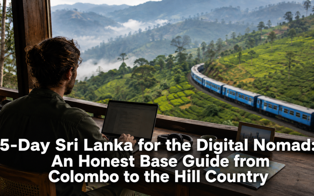
5-Day Sri Lanka for the Digital Nomad: An Honest Base Guide from Colombo to the Hill Country

5-Day Sri Lanka for the Digital Nomad: An Honest Base Guide from Colombo to the Hill Country

Sri Lanka’s digital nomad visa, which now extends to spouses and dependants and which the government has forecast will substantially increase long-stay arrivals, has changed the conversation around the island from holiday destination to genuine work base. What has not caught up is the quality of information available to the person actually making that decision. Most content describing Sri Lanka as a nomad destination is written by someone who visited for a week and extrapolated a lifestyle from a beach cafe with decent wifi. This is written for the person weighing a real move, not dreaming about one.

Five days here covers the towns that actually function as long-stay bases, where connectivity holds up against the marketing claims, what a realistic monthly budget looks like, and the genuine difference in daily life between working from the coast and working from the hills.

Before You Go

The digital nomad visa itself is straightforward to apply for online, requires proof of remote income above a set threshold, and now permits spouses and dependants to be included on the same application, a meaningful change from the single-applicant scheme that preceded it. Processing takes several weeks, so apply well ahead of an intended arrival date rather than assuming a fast turnaround.

Connectivity across the island is genuinely better than its reputation among nomads who have not visited recently. Fibre broadband is now standard in Colombo, Kandy, and most coastal towns with any tourism infrastructure, and mobile data through Dialog or SLT Mobitel is fast and inexpensive by international standards. The gap is not speed but reliability: outages during heavy rain are common in the hill country and the deep south, and any serious remote work setup needs a backup mobile hotspot regardless of which town you choose.

Day 1 — Colombo and the Coworking Scene

Land and spend the first two days in Colombo, the only city on the island with a genuine coworking ecosystem and the necessary comparison point for everywhere else on this route. Hatch Innovation in Colombo 3 is the most established coworking space serving the nomad and startup community, with reliable fibre, a functioning cafe, and a member base that skews toward founders and freelancers rather than tourists killing time. Central in Union Place is the other serious option, smaller and quieter, better suited to work requiring genuine focus.

Colombo’s advantage is infrastructure: reliable power, the widest range of restaurants and healthcare, and the only realistic option if your work requires frequent video calls across time zones that demand a stable connection at odd hours. Its disadvantage is that it does not feel like Sri Lanka in any distinct sense, the city’s traffic and heat cancelling out much of the appeal that drew you to the island in the first place.

For accommodation, a monthly apartment rental in Colombo 5 or Colombo 7 through a local agent runs from roughly sixty thousand to a hundred and twenty thousand rupees depending on size and furnishing, considerably cheaper than the same standard of apartment in most regional capitals nomads compare it against.

Day 2 — The Colombo Budget in Detail

Spend the second day testing the actual cost of living rather than taking the marketing figure at face value. A realistic solo monthly budget in Colombo, covering a one-bedroom furnished apartment, groceries, regular local restaurant meals, a coworking membership, and a mobile data plan, lands between two hundred and fifty and three hundred and fifty US dollars converted, excluding rent, or around five hundred and fifty to seven hundred dollars including a mid-range apartment. This is not the headline figure often quoted, which typically assumes shared accommodation and minimal eating out, but it is the figure that holds up against a genuine month of living rather than budget backpacking.

Healthcare is a specific line item worth understanding before committing to a longer stay. Private hospitals such as Asiri and Nawaloka in Colombo provide a standard of care comparable to much of Southeast Asia at a fraction of the cost, and a basic international health insurance policy covering these facilities is a sound addition to the monthly budget rather than an optional extra.

Day 3 — Kandy and the Hill Country Base

Travel to Kandy, about three hours from Colombo by car or a considerably more scenic three and a half by train, to test the hill country as an alternative base. Kandy has a smaller but growing coworking presence, with 88 Colombo’s satellite space and several cafe-coworking hybrids near the lake offering usable wifi and a calmer working environment than Colombo provides.

The quality of life difference is immediate. Kandy’s climate is markedly cooler, the pace of the town slower, and the surrounding hill country offers weekend access to tea country and hiking that Colombo cannot match. The tradeoff is infrastructure: healthcare options are more limited, English-speaking services less comprehensive, and the coworking scene, while functional, does not yet support the kind of professional network Colombo offers.

For accommodation, a furnished apartment or small house in Kandy runs from around forty to seventy thousand rupees monthly, cheaper than Colombo and considerably more spacious for the price, a serious consideration for anyone planning a stay of several months or more.

Day 4 — Ella and the Remote Coastal Question

Travel south to Ella to test the opposite proposition, a small hill town with genuine scenic appeal but minimal formal coworking infrastructure. Ella works as a base for short stays of a few weeks, particularly for someone whose work does not require a professional office environment, but the wifi reliability at guesthouses and cafes varies considerably and outages during the rainy season are frequent enough to matter for anyone with fixed deadlines.

The lifestyle appeal is real. Ella offers hiking, a genuine expatriate and long-stay community, and a cost of living lower than either Colombo or Kandy, with a comfortable guesthouse room running from twenty-five to forty thousand rupees monthly. The honest assessment is that Ella suits someone testing the nomad lifestyle for the first time or taking a working holiday rather than someone building a serious long-term base, since the infrastructure gap between Ella and Colombo is considerably wider than the marketing around hill country nomad living tends to admit.

Day 5 — Weighing the Decision

Use the final day to compare notes honestly rather than defaulting to whichever town made the best first impression. Colombo suits anyone whose work depends on reliable infrastructure, frequent calls, or access to a genuine professional network, and it remains the only city on the island where a serious long-term coworking and startup community exists. Kandy suits someone who wants meaningfully better quality of life without sacrificing too much infrastructure, and is the strongest middle option for a stay of three to six months. Ella and the smaller coastal and hill towns suit a shorter stay or a genuine sabbatical rather than a base for consistent, deadline-driven work.

Most long-stay nomads who commit to Sri Lanka for a year or more end up splitting time between two of these bases rather than choosing one permanently, typically Colombo for a working core and Kandy or the south for extended breaks, a pattern the visa’s flexibility now accommodates comfortably.

Practical Notes

Apply for the digital nomad visa at least six weeks before your intended arrival to allow for processing. Carry a backup mobile hotspot regardless of which town you base in, since even Colombo experiences occasional outages during the monsoon months. Private health insurance covering Colombo’s major hospitals is strongly advisable for any stay beyond a few weeks. Coworking memberships in Colombo run from around fifteen to thirty thousand rupees monthly and are worth the cost even for those working from a home apartment, primarily for the professional network rather than the desk itself. The most reliable months for consistent connectivity across all three bases are December through March, outside the two monsoon seasons.

.

5-Day River & Rainforest: A Wet Zone Expedition through Sinharaja and Kitulgala

5-Day River & Rainforest: A Wet Zone Expedition through Sinharaja and Kitulgala

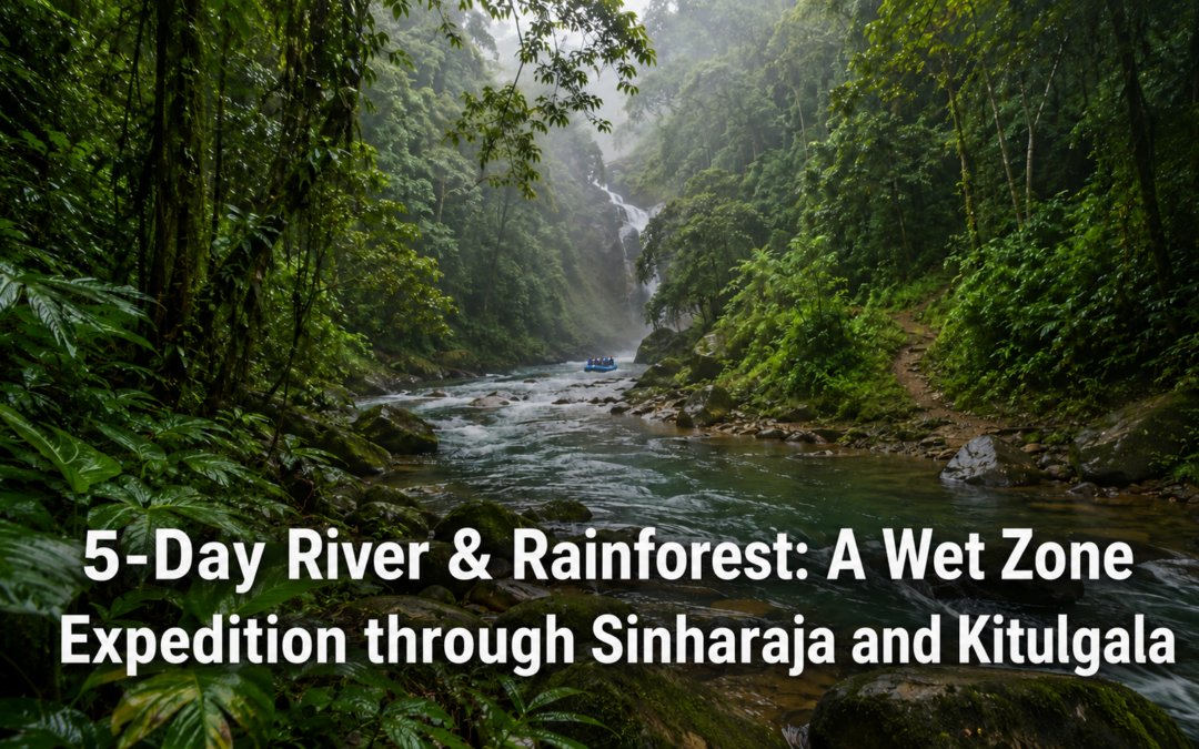
There is a part of Sri Lanka that the coastal traveller never sees and the highland trekker tends to bypass. It sits in the south-western interior, between the beaches and the tea country, neither one thing nor the other. It is wet, dense, loud with birdsong, and threaded through with rivers that run clear and fast over smooth grey rock. It is, in the opinion of most people who have spent time there, the most biologically extraordinary landscape on the island.

This is the wet zone. And at its heart sits Sinharaja, the last remaining tract of primary lowland rainforest in Sri Lanka, a UNESCO World Heritage Site, and one of the most species-rich ecosystems in Asia. Pair it with Kitulgala, a small riverside town a few hours north where the Kelani River moves through forested gorges and the white water is among the best in South Asia, and you have five days that cover terrain most Sri Lanka itineraries never touch.

This is a journey for the traveller who is drawn to the unmanaged and the genuinely wild. To the sound of rain on a jungle canopy. To the particular quality of light in a forest that has been growing, without interruption, for millions of years.

Day 1 – Arriving in Sinharaja

The entry points to Sinharaja are few and deliberately limited. The most commonly used is the village of Kudawa on the northern boundary, reached from Colombo in around four hours via Ratnapura. The road narrows considerably in the final stretch, and the forest begins announcing itself well before you arrive, the vegetation thickening and the air changing quality as you climb.

Arrive in the afternoon and resist the urge to immediately enter the forest. Instead, sit somewhere near the boundary and listen. Sinharaja has a soundscape unlike anything in the rest of Sri Lanka. The calls of the endemic birds overlap in layers, the insects provide a continuous low register beneath everything, and the rain, which can arrive at any time of day with very little warning, adds its own percussion to the canopy above.

The best accommodation for a Sinharaja stay is directly adjacent to the forest boundary, and a few excellent options have established themselves here over the years. Rainforest Edge is the most comfortable and well-regarded, a small property with good rooms, an excellent cook, and staff who understand the forest intimately. It sits literally at the treeline, and waking up there on a clear morning, with the mist still in the canopy and the birds already audible, is a considerable experience. For a more budget-conscious stay, Martin’s Simple Guest House in Kudawa is a long-established and genuinely warm guesthouse run by a family with deep knowledge of the forest and its guides.

Day 2 – Inside the Forest

You need a licensed guide to enter Sinharaja, and this is not a bureaucratic inconvenience but a genuine asset. The guides here have spent years learning this forest. They know which bird calls belong to which canopy layer, where the mixed feeding flocks tend to move in the morning hours, and which trails give you the best chance of seeing the endemics that make Sinharaja genuinely irreplaceable.

Sri Lanka has 33 endemic bird species. Around 95 percent of them can be found in Sinharaja. The Sri Lanka blue magpie, the red-faced malkoha, the green-billed coucal, the Ceylon frogmouth sitting motionless on a branch in broad daylight, looking exactly like a piece of bark. For birders, this is one of the most important sites in Asia. But even for travellers with no particular interest in birds, the experience of walking through a primary rainforest with someone who can read it fluently is transformative.

The mixed feeding flocks are the great spectacle of Sinharaja. These are loose associations of ten to twenty different species moving through the canopy together, each exploiting a slightly different niche in the same column of forest. When a feeding flock moves through overhead, the forest erupts briefly into colour and noise and then goes quiet again as they pass. Your guide will hear them coming before you do.

Beyond the birds, the forest floor has its own world worth paying attention to. The leaf litter moves with the activity of insects. Land leeches are present and will find you if you stand still long enough, which is simply part of the experience and worth being relaxed about. The root systems of the large dipterocarps spread across the path like buttresses, some of them taller than a person. The oldest trees in here have been growing for centuries.

Plan for a full day in the forest, with an early start. The morning hours, from six until around ten, are when the birds are most active and the light through the canopy is at its most beautiful.

Day 3 – The Drive to Kitulgala

The road from Sinharaja to Kitulgala takes around two and a half hours and passes through some of the most quietly beautiful countryside in Sri Lanka. Rubber estates give way to small paddy fields, which give way to the first river valleys of the Kelani watershed. The town of Ratnapura, the gem capital of the island, is worth a brief stop. The small gem market near the bus station, where miners and dealers trade rough stones in the open air with a handshake and a shared understanding that goes back generations, is one of those unreconstructed, unselfconscious scenes that is becoming increasingly rare in Sri Lanka.

Arrive in Kitulgala by early afternoon. The town sits on a wide bend of the Kelani River, which here runs fast and green between forested banks. It is a small place with a single main street, a handful of guesthouses, and an atmosphere of easy, river-town calm. The forest presses in on every side.

For accommodation in Kitulgala, The Plantation Hotel is the most comfortable option, a well-run mid-range property with good food and a riverside setting that makes the most of the location. The rooms are clean, the staff are helpful, and the sound of the river carries through every window. For budget travellers, Rafters Retreat offers simple rooms at very reasonable prices and is run by people who know the river well and can arrange rafting trips directly.

Day 4 – White Water and the River Forest

The Kelani River at Kitulgala offers some of the best white-water rafting in South Asia. The rapids here are graded between two and four depending on the season and the water level, and the run through the main gorge section takes around two hours. You don’t need prior experience. The operators who work this stretch are professional, well-equipped, and run safety briefings that actually cover the relevant information rather than simply being a formality.

The rafting itself is genuinely exciting in places and genuinely beautiful throughout. The river moves between walls of riverside forest, the water clear enough in the calmer sections to see the riverbed, the occasional kingfisher cutting low across the surface ahead of you. There are pools where, if you overturn or simply choose to, you can swim in water that has come directly off the central highlands. It is very cold and completely clean.

The afternoon is better spent on foot. The forest trails around Kitulgala are informal and varied, and a local guide from your guesthouse can put together a half-day walk that covers the riverside forest, some of the smaller tributaries, and, if you time it well, the area around the old bridge that marks the rough location where David Lean filmed The Bridge on the River Kwai in 1957. The actual structure is long gone, but the river bend looks much as it did then, the forest growing right to the water’s edge on both sides.

In the evening, ask your guesthouse to arrange dinner by the river. Most of the properties here can set up a table on the bank, and eating grilled freshwater fish by lantern light, with the river moving fast and dark a few metres away, is the kind of simple, specific pleasure that is very difficult to arrange and very easy to remember.

Day 5 – The Return Through the Hills

The drive back to Colombo from Kitulgala takes around two hours on the main A7 road, which follows the Kelani River valley for much of its length. It is one of the more pleasant commuter roads in the country, the river visible intermittently through the trees on the left, the land opening up gradually as you drop in elevation toward the coast.

Stop at Karawanella on the way, a small town on the river with a covered market that operates through the morning hours. The produce here comes directly from the surrounding estates and smallholdings: bunches of king coconut, bags of freshly roasted cashews, cinnamon bark still fragrant, small glass jars of clove and cardamom. It is not a tourist market. It is simply where people buy things, and spending twenty minutes in it is a more honest introduction to how the wet zone sustains itself than any organised tour.

If you have time before the city traffic builds, the town of Avissawella, at the mouth of the valley, has a small but good local restaurant quarter along its main street where the rice and curry is cheap, freshly made, and considerably better than anything you will find in Colombo for the same price.

Where to Stay

At Sinharaja, Rainforest Edge is the standout choice for comfort and access, while Martin’s Simple Guest House in Kudawa offers an authentic and affordable alternative. In Kitulgala, The Plantation Hotel provides a solid mid-range experience with excellent riverside positioning. Budget travellers are well served by Rafters Retreat, which combines good value with direct access to the river operators.

5-Day Monsoon Sri Lanka: Why the Rainy Season is the Right Time to Visit

5-Day Monsoon Sri Lanka: Why the Rainy Season is the Right Time to Visit

There is a version of Sri Lanka that most travel guides actively discourage you from seeing. They call it the low season, the wrong time, the period to avoid. The months between May and September appear on travel calendars in cautionary red. The advice is consistent: come between December and April, avoid the rest.

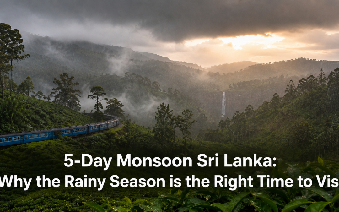
That advice is incomplete in a way that does a disservice to a genuinely different and genuinely rewarding version of the island. Because while the south and west coasts are wet, the east coast is basking in its finest weather of the entire year. While the waterfalls of the hill country are thin trickles in the dry months, during the monsoon they are roaring columns of water. While Ella’s main street is crowded with tourists in January, in June you can walk the same streets with room to breathe. The monsoon does not ruin Sri Lanka. It reveals a different one.

Understanding the Monsoon

Sri Lanka’s monsoon is not a single season but two alternating ones. The south-west monsoon, the Yala, runs from May to September and brings rain to the southern and western coasts and the central highlands. At the same time, the east coast from Trincomalee to Arugam Bay enjoys dry, sunny, calm conditions that are not available at any other time of year.

The practical implication is straightforward. Visit the east coast between May and September and you will have the finest weather on the island while most tourists concentrate on the western circuit. Sri Lanka almost always has somewhere in excellent weather, and the monsoon traveller who understands this geography does not compromise.

Day 1 — Colombo and the Drive East

Land in Colombo during the monsoon and the city will be warm and humid with afternoon showers that arrive and depart with the reliability of a scheduled service. The morning hours are generally clear. The rain, when it comes, falls hard and fast and is finished within the hour. The city after a downpour smells extraordinary, the dust washed from the streets and the air genuinely clean.

Use the morning in Colombo before heading east. Breakfast at Pagoda Tea Room on Galle Road, a city institution since 1947, is the correct start. The Colombo National Museum on Albert Crescent is entirely unaffected by any weather outside its doors and is one of the finer museums in South Asia. The Pettah market in the rain has a particular energy, the covered sections alive with their usual organised chaos and the outdoor vendors working beneath improvised awnings with the practiced calm of people who have done this through twenty monsoon seasons.

The drive east from Colombo to Trincomalee takes around five hours. As you move east, the weather changes perceptibly. The clouds thin and then disappear, and by the time the east coast appears the sky is a clear, deep blue that the western circuit cannot match in any season.

For accommodation in Trincomalee, Trinco Blu by Cinnamon offers comfortable mid-range rooms with harbour views and a kitchen that handles the local seafood with genuine care. For a more intimate coastal experience, Jungle Beach by Uga Escapes a short drive south sits in a sheltered cove with good snorkelling directly off the beach.

Day 2 — Trincomalee at Its Best

The east coast between May and September is, without qualification, at its finest. The sea is calm, warm, and transparent. The beaches are uncrowded. The fishing communities along the coast are working at the peak of their season.

Begin at the Koneswaram Temple on the clifftop above the harbour, one of the more affecting sacred sites on the eastern coast in the early morning before the heat builds. The view across the harbour and the open sea beyond is genuinely spectacular on a clear monsoon-season morning.

Spend the afternoon at Nilaveli Beach, about fifteen kilometres north of Trincomalee. In the monsoon months this beach has a quiet, unhurried quality that is precisely what it should feel like. The water is calm enough for easy swimming and Pigeon Island, accessible by a short boat ride, is at its most visible in the clear, undisturbed monsoon-season water.

For dinner, Welcome Hotel near the Trincomalee clock tower serves a good rice and curry with a fish preparation reflecting the morning’s market catch directly.

Day 3 — Arugam Bay and Peak Surf Season

The monsoon months are peak surf season at Arugam Bay. The south-west swell produces the consistent, powerful waves that have made this a premier right-hand point break, and between June and September the bay draws serious surfers from Europe and Australia who come specifically because the monsoon is in full swing rather than despite it.

Drive south from Trincomalee to Arugam Bay, around three hours along the eastern coastal road. The surf at its peak in June and July, with sets running for considerable distances, is worth watching from the headland even if you have no intention of getting on a board.

Stardust Hotel on the beach road is the most established mid-range property, with comfortable rooms, a surf school, and a breakfast terrace where the day’s conditions are discussed over egg roti and fresh juice. For a budget stay, Mambo’s on the main strip is clean, friendly, and central.

For lunch, Spice Trail Restaurant near the main junction draws both locals and visitors, the devilled prawn made with sweet local lagoon prawns being the dish to order. In the evening, Gecko Restaurant handles fresh tuna with a consistency that reflects the quality of monsoon-season fishing.

Day 4 — The Hill Country in the Rain

Drive west from Arugam Bay toward Ella and you enter the monsoon’s most dramatic offering. The waterfalls of the hill country during the monsoon are not the same waterfalls that appear in dry season photographs. Bambarakanda Falls, at 263 metres the tallest in Sri Lanka, becomes a roaring column of white water audible from considerable distances. Diyaluma Falls drops with a power in June and July that the dry season trickle does not possess. Ravana Falls near Ella, easily accessible from the main road, is a proper cascade during the monsoon rather than the modest flow the dry season produces.

The tea estates in the rain have their own particular quality. The bushes are at their most intensely green, the colour almost unreal against the grey sky, and the mist moving through the upper sections turns the landscape into something that photography struggles to capture honestly. The pickers who work through the rain in bright plastic capes, their movements precise and unhurried regardless of the weather, are one of the more affecting sights the monsoon hill country offers.

For accommodation in Ella, 98 Acres Resort provides the most comfortable mid-range experience, the views from the hillside property more dramatic in the monsoon mist than in the dry season clarity. For dinner, Cafe Chill on the main road offers the wood-fired pizza and fresh juice combination that the town’s visitor community has settled on as the reliable evening standard.

Day 5 — The Dry Zone and the Return

Use the final day for the dry zone interior between the hill country and Colombo. During the south-west monsoon this landscape is in its own dry season, offering the cultural triangle sites at their least crowded and most atmospheric. Sigiriya in the rain, the rock rising from intensely green surroundings rather than the brown of the dry season, is a different and in many ways finer experience than the same site in peak season heat.

The drive back to Colombo from the dry zone takes around three hours. The city in the late afternoon during the monsoon has its own particular quality, the shower that arrives around four clearing the air and leaving the streets clean, the light in the hour after the rain softer and more golden than the dry season’s harder illumination.

What Monsoon Travel Actually Costs

Hotel rates during the south-west monsoon months drop by between 25 and 40 percent across most properties on the western and southern circuits. East coast properties in their peak season maintain their rates, but the beach and water conditions in June and July justify every rupee. Domestic travel is easier to book with less advance notice. The island is simply less crowded, which has a value that no discount can fully represent.

Practical Notes

Pack light, quick-dry clothing and a compact waterproof jacket. Mornings on the east coast and in the hill country are generally clear, with rain arriving in the afternoon. Plan active outdoor activities for the morning hours and treat the afternoon rain as a built-in rest period rather than a disruption. The east coast between May and September is the most reliable section of this itinerary. The hill country in the same months is wet but rewarding for waterfall visitors and estate walkers willing to accept some dampness. Leeches are active on hill country trails during the monsoon and leech socks are a practical necessity rather than an optional precaution.

4-Day The High-Plateau Wilderness: A Trek Through Horton Plains and Belihuloya

4-Day The High-Plateau Wilderness: A Trek Through Horton Plains and Belihuloya

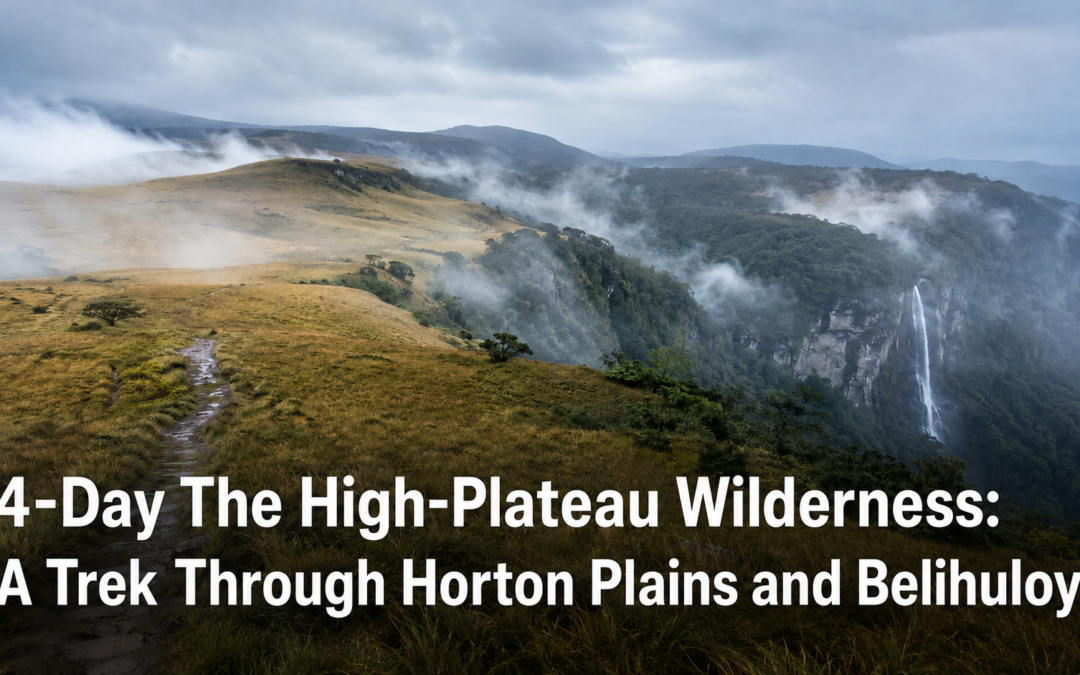
There is a moment, somewhere near the escarpment at World’s End, when the cloud forest simply stops. One step you are walking through a cathedral of ancient, moss-draped trees, the ground soft and perpetually damp beneath your boots, the light arriving in grey filtered columns. The next step, the plateau ends and there is nothing   a clean vertical drop of 870 metres to the lowland jungle far below, and the whole of southern Sri Lanka spread out in the haze beyond it. On a clear morning, you can see all the way to the coast.

Horton Plains is one of those rare places that earns its reputation without effort. It doesn’t announce itself. It doesn’t need to. The plateau sits at around 2,100 metres above sea level, making it the highest flat terrain in Sri Lanka, and the landscape up here has a quality that is genuinely unlike anything else in the country   ancient, cloud-wreathed, a little austere, and utterly absorbing.

Pair it with Belihuloya   the lush, river-threaded valley town that sits lower in the hills and makes the ideal base for this journey   and you have four days that move through almost every register of Sri Lankan highland landscape. This is walking country in the finest sense: unhurried, immersive, and quietly transformative.

Day 1 — Arriving in Belihuloya

Begin in Belihuloya. It is a small, unhurried settlement tucked into a valley in the Ratnapura District, roughly six hours south-east of Colombo by road. The town sits at a comfortable mid-elevation   lower than the cold heights of Horton Plains or Nuwara Eliya, but ringed by the same tea-covered hills and served by the same cool, clean air. The Belihul Oya river, from which the place takes its name, runs clear and fast through the valley floor.

Arrive in the afternoon and resist the temptation to immediately organise tomorrow’s plans. Instead, walk down to the river. Find a flat, warm rock and sit on it for a while. The water here is genuinely, almost startlingly transparent   not the exaggerated clarity of a travel brochure, but the real thing, mountain water so clear you can distinguish individual pebbles at two metres depth. In the dry season, local children swim in the wider pools further downstream. In the late afternoon light, with the hills turning dark green above you and the sound of the water filling the air, it is a quietly perfect place to arrive.

Dinner in Belihuloya is simple and good. Rice and curry, fresh river fish, occasional hoppers in the evening. The local cooking has a robustness to it that reflects the highland climate   warm, spiced, satisfying after a day’s travel.

Day 2 — Waterfalls, River Trails, and Moss-Covered Bridges

The trails around Belihuloya have a different character from the managed loop inside Horton Plains National Park. They are looser, less defined, not yet mapped and labelled and converted into a product. You walk them with a rough sense of direction and a willingness to make small mistakes, and that informality is precisely what makes them worth walking.

The landscape has that layered, almost fantastical quality particular to the Sri Lankan highlands   everything competing to grow, every surface colonised by something green, the rock itself disappearing beneath decades of moss. The old stone bridges that cross the smaller tributaries are the details you remember longest: wide, low arches built during the colonial period and in some cases earlier, their surfaces thickly covered in moss and fern, their reflections hanging perfect and still in the water below. They look as though they belong in a fantasy novel. In a sense, they do.

The trail to Bambarakanda Falls is the day’s main event. At 263 metres, this is the tallest waterfall in Sri Lanka, and the hike to reach it is a manageable half-day walk from the valley. The falls themselves are extraordinary   a thin, vertical ribbon of white water dropping through dense jungle from a high ledge into a cool, mist-wreathed pool at the base. The air around the pool is ten degrees cooler than the surrounding forest. In the middle of a warm afternoon, it feels like stepping into a different climate entirely.

Return to Belihuloya with enough time for a river swim before the light goes. This is, without question, the correct way to end the day.

Day 3 — World’s End and the Prehistoric Cloud Forest

Wake before dawn. Horton Plains National Park opens at six in the morning, and you want to be at World’s End before nine, before the clouds make their daily, predictable ascent and close the view entirely. The park is roughly an hour’s drive from Belihuloya via the Haputale road   a beautiful drive in itself, rising through switchbacks past tea estates still veiled in morning mist.

The main walking trail through the park is a nine-kilometre loop that takes around three hours at an easy pace. It begins in the cloud forest   the real thing, not merely a forest with some cloud nearby, but a dense, ancient, moss-smothered woodland that feels prehistoric in character. The trees here are gnarled and twisted, their branches heavy with lichen and pendant moss. The roots coil across exposed rock like something carved. The ground is always soft and damp, even in dry season, because the cloud that moves through this plateau almost daily keeps everything perpetually saturated.

World’s End, at the southern edge of the plateau, is one of those geographical features that earns its name through sheer abruptness. There is no gradual slope, no transition. The plateau simply stops, and below it the land falls away in a clean vertical face. On a clear morning you can see the southern coastal plains glinting in the distance, more than a hundred kilometres away. Then, usually by mid-morning, the cloud rolls in from the south. It comes fast. Within minutes the view is entirely gone, replaced by white mist and the sound of dripping vegetation. If you’ve missed the clear window, it doesn’t diminish the place   the cloud forest in mist has a beauty of its own, strange and muffled and interior   but the view is worth waking early for.

The trail also passes Baker’s Falls, a wide two-tiered cascade that drops through a rocky gorge about two-thirds of the way around the loop. Stop here for lunch if you’ve brought a packed one   which you should. The sound of the water against the rocks, with the forest pressing in on every side, makes for an excellent table.

Day 4 — Tea Roads and the Descent

The drive back from the highlands is an experience in itself, and worth doing without haste. The road from Haputale down to the lowlands descends through some of the most beautiful scenery in Sri Lanka   a series of long, sweeping switchbacks with views across the Uva basin, the tea estates falling away on either side in soft waves of green, the distant plains shimmering below.

Stop somewhere along this road for a glass of freshly-brewed Ceylon tea. There are small tea shops at intervals, usually run from a wooden shed beside the road with a single stove and a kettle that’s been in continuous use since before you were born. The tea grown at this elevation has a distinctive character   light-bodied, slightly spiced, with a clean, brisk finish. Drunk at altitude, looking down at the valley from which you came, it is quite possibly the finest cup of tea you will ever have.

The descent takes you back into the warmth and noise of the lowlands, and the re-entry feels, as re-entries from good places always do, like a small loss. Hold the cloud forest in your mind for the rest of the drive. It stays with you, if you let it.

Where to Stay in Horton Plains and Belihuloya

Accommodation options are spread across Belihuloya, Haputale, and Nuwara Eliya, each offering a different character and price point.

Belihuloya Rest House – A government-run resthouse set directly on the river bank, with basic but genuinely clean rooms and a location that is simply unbeatable. Budget-friendly and atmospherically wonderful – the sound of the river at night, coming through an open window, is as good as any sleep aid there is.

The Kelburne Mountain View Cottages, Haputale – A charming mid-range property near Haputale with well-appointed stone cottages, sweeping valley views from the gardens, and a warm family-run atmosphere that makes you want to extend your stay. Breakfast is included and very good.

Olympus Plaza Hotel, Haputale – A clean, reliable mid-range town hotel in Haputale, convenient for an early start to the park. Nothing particularly distinctive about it, but it is comfortable and well-priced, and the rooftop views over the valley are quietly remarkable.

Thilanka Resort, Nuwara Eliya – If you prefer a more comfortable base with better dining options, Nuwara Eliya is around forty minutes from the park entrance by road. Thilanka is one of the town’s more characterful mid-range options, with good hill-country warmth and a reliable kitchen.