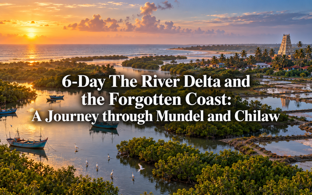
6-Day The River Delta and the Forgotten Coast: A Journey through Mundel and Chilaw

6-Day The River Delta and the Forgotten Coast: A Journey through Mundel and Chilaw

Everyone who drives the coastal highway north of Colombo is heading somewhere else. Negombo to Kalpitiya. Colombo to Puttalam. The road runs straight and fast through a landscape that most travellers register only as the gap between destinations. That is a significant oversight. The stretch of coast between Negombo and Puttalam, centred on the lagoon town of Mundel and the fishing port of Chilaw, is one of the most productively interesting coastlines in Sri Lanka. It does not present itself for inspection. It simply gets on with the business of feeding the country, which is precisely what makes it worth stopping for.

This is a coast of prawn farms and fish markets, of Catholic churches built on Portuguese foundations, of toddy tappers climbing coconut palms before dawn, and of a river delta where the Deduru Oya meets the sea through a broad, bird-rich estuary that almost nobody visits. Six days here will show you a Sri Lanka that has never needed tourism and does not especially miss it.

Day 1 – Chilaw and the First Morning

Chilaw sits about ninety kilometres north of Colombo on the coastal road, close enough for a comfortable morning drive but far enough that the city feels genuinely left behind. It is a busy, unpretentious fishing town built around its lagoon, and the fish market that operates on the lagoon edge from around four in the morning is the correct introduction to everything that follows.

Arrive the evening before and stay close to the market so the early start requires minimal logistics. Lihini Tourist Inn on De Saram Road is a clean, friendly budget guesthouse within walking distance of the lagoon front, run by a family that has been hosting travellers passing through Chilaw for years. For something with slightly more comfort, Goldi Sands Hotel a few kilometres south on the beach road offers mid-range rooms with sea views and a kitchen that handles fresh seafood well.

The market itself opens before the sun comes up and is at its most alive between five and seven in the morning. The catch arrives directly from the boats, sorted on the jetty by species and size with a speed that reflects decades of collective practice. Barracuda, seer fish, mullet, crab, and the small silver sardines that are salted and dried on the lagoon bank in long flat rows. The buyers arrive on motorbikes and in three-wheelers, transactions conducted in Tamil and Sinhala simultaneously without apparent confusion.

After the market, breakfast at Hotel de Chilaw on the main street, where the string hopper and coconut sambol set has been the standard morning meal for the town’s working population for as long as anyone can remember. It costs around two hundred and fifty rupees and is freshly made from six in the morning.

Day 2 — The Munneswaram Temple and the Portuguese Churches

The Munneswaram Temple complex sits about six kilometres east of Chilaw on the road toward Kurunegala, and its age and significance are considerably greater than its modest surroundings suggest. The site predates the Portuguese period by several centuries and is believed by some scholars to have been an active religious centre as far back as the 10th century AD. The Portuguese destroyed the original temple in the 16th century, as they destroyed most Hindu temples they encountered, and the reconstruction that followed over the subsequent centuries has produced a complex of five separate kovils serving different communities, the principal shrine dedicated to Shiva and drawing pilgrims from across the island throughout the year.

The Munneswaram Festival, held annually in August and September, is one of the most significant Hindu festivals on the west coast. The firewalking ceremony on the final day draws several thousand devotees and is one of those events that has no performance component whatsoever. People walk across the burning coals because their faith requires it, and the intensity of that collective act of devotion is something that stays with you regardless of your own religious position. If your visit falls outside the festival season, the temple in its ordinary daily state is still worth a full morning.

The Catholic churches of Chilaw and the surrounding villages represent the other half of this coast’s religious character. St Mary’s Cathedral in Chilaw town is a handsome 19th-century building whose congregation traces its Christian heritage directly to the Portuguese period. The smaller village churches along the coast road, some of them rebuilt several times on the same foundations, hold regular services that are open to respectful visitors. The feast days of the local patron saints, celebrated between May and August, are community events of considerable warmth and noise, the streets around the church filling with food stalls and music well into the evening.

Days 3 and 4 — Mundel Lagoon and the Prawn Farms

Mundel is a small lagoon town about thirty kilometres north of Chilaw where the pace of life slows noticeably and the landscape opens up into the broad, flat terrain of the lagoon interior. The town itself is quiet and self-contained, its economy built on fishing and the prawn farming operations that have expanded significantly across the lagoon shallows over the past two decades.

The prawn farms visible from the lagoon road are large-scale commercial operations, their rectangular ponds covering extensive areas of what was formerly open lagoon. They are not conventionally scenic, but they are genuinely interesting if you approach them as evidence of how a coastal economy adapts and changes in response to market demand. Several farm operators in the Mundel area welcome visitors for informal tours, and the processing operations, where the prawns are sorted, iced, and packed for the Colombo market, are worth an hour of attention.

For accommodation in Mundel, Mundel Lake Holiday Resort sits directly on the lagoon edge with comfortable rooms and a kitchen that serves freshly caught fish and prawn dishes at prices that reflect the fact that the raw material was in the water a few hours earlier. The sunset from the resort jetty, with the lagoon turning orange and the birds moving in long lines across the water, is one of those views that justifies the detour entirely.

On the second day in Mundel, hire a boat for the morning and spend three hours on the lagoon. The birdlife here is excellent throughout the year, with painted storks, purple herons, and large flocks of migratory waders present in the right season. The mangrove channels on the northern edge of the lagoon are particularly rich, and the boatmen who work this water know the channels well enough to take you places where the vegetation closes overhead and the sound of the lagoon disappears entirely.

Day 5 — The Deduru Oya Delta

The Deduru Oya river meets the sea about fifteen kilometres south of Mundel through a broad delta of sandbanks, mangrove islands, and shallow channels that shift with every monsoon season. It is one of the more significant bird habitats on the north-western coast and one of the least documented. The estuary during the winter months between November and March supports large concentrations of migratory shorebirds alongside the resident species, and a morning boat trip through the delta channels is among the finer wildlife experiences available on this stretch of coast.

Arrange the boat from the small fishing village at the river mouth, where the boat operators charge around one thousand two hundred rupees for a two-hour trip through the main delta channels. Bring binoculars if you have them. The light on the water in the early morning, with the sandbanks white and the birds moving in every direction, is worth the early start by a considerable margin.

The toddy tappers who work the coconut estates inland from the delta begin their climbs before sunrise, ascending the tall palms with a practiced efficiency that makes the thirty-metre climb look straightforward. The fresh toddy collected in the morning hours, before fermentation has progressed significantly, is a mildly sweet, slightly fizzy drink of genuine refreshment. Several of the tappers along the estate roads near the delta sell directly from the collection point in the early morning hours for about fifty rupees a glass.

Day 6 — The Coast Road South and the Return

The drive back to Colombo along the coastal road passes through the full length of the north-western coast in a single morning, and the towns it passes through, Marawila, Mahawewa, Wennappuwa, are each worth a brief stop if your timing allows. The roadside food culture along this stretch is one of the least celebrated and most rewarding in Sri Lanka.

The isso wade vendors who operate from roadside stalls between Chilaw and Negombo serve prawn fritters made with the small local prawns that are caught in the lagoon and fried in a thin, crisp batter. They cost about sixty rupees each and are eaten standing at the stall with a green chilli on the side. There is no version of this available in Colombo that tastes the same, because the prawns are not the same, and the difference is entirely worth making the drive for.

Stop at Wennappuwa for the St Anne’s Church Festival if your visit falls in late July, when the feast of St Anne draws several hundred thousand Catholic pilgrims from across Sri Lanka to what is one of the largest Christian gatherings in Asia. The town is transformed completely for the duration, the roads lined with food stalls, the church compound full from before dawn, and the atmosphere combining genuine religious devotion with the organised chaos of a very large fair. It is extraordinary and entirely unlike anything else on the island.

Practical Notes

The best time for this route is between December and April when the north-east monsoon has passed and the west coast is entering its dry season. The Munneswaram Festival in August and September and the Wennappuwa St Anne’s Festival in late July are worth timing a visit around if either appeals. Tuk-tuks between Chilaw and Mundel charge around five hundred rupees for the thirty-kilometre journey. Cash is essential throughout this route as card payment facilities are limited outside the larger hotels.
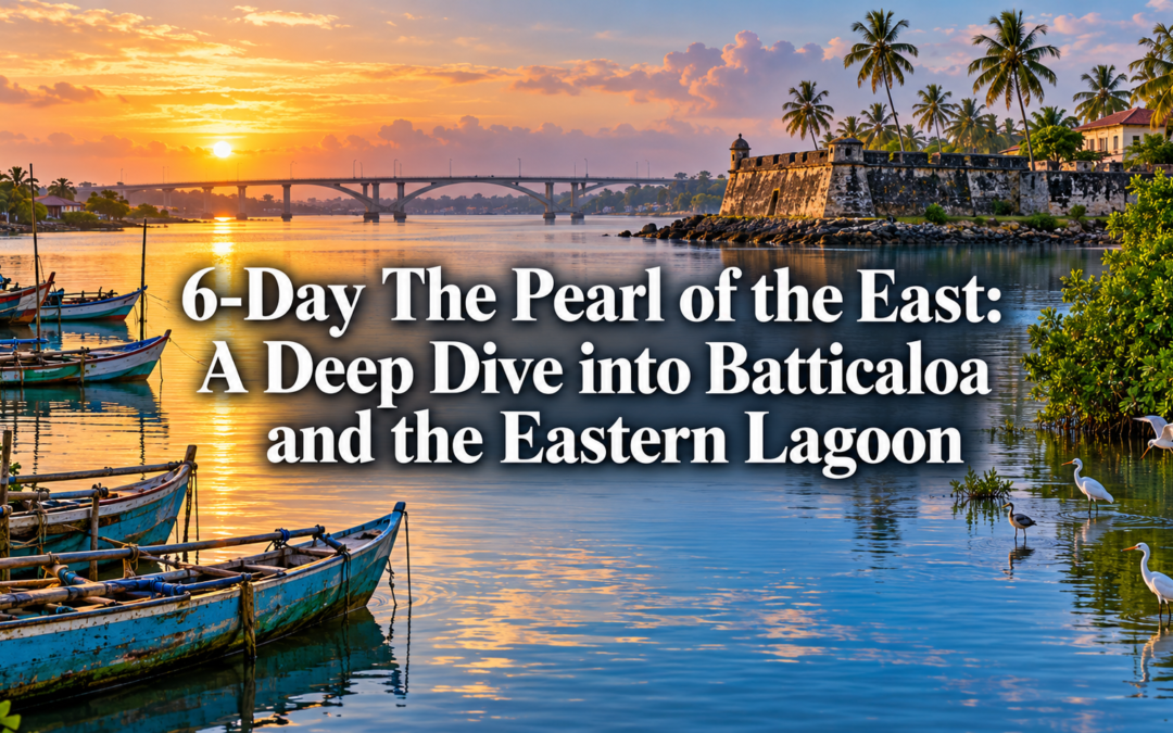
6-Day The Pearl of the East: A Deep Dive into Batticaloa and the Eastern Lagoon

6-Day The Pearl of the East: A Deep Dive into Batticaloa and the Eastern Lagoon

Trincomalee gets the visitors. It has the harbour, the whale sharks, the colonial fort, the long white beaches of Nilaveli. It earns its reputation. But two hours further south along the eastern coast sits Batticaloa, a lagoon city of considerable character and almost no tourist infrastructure, which is either a problem or a recommendation depending on the kind of traveller you are.

Batticaloa is built on islands in a lagoon system that stretches for kilometres in every direction, connected by causeways and bridges, its streets ending abruptly at the water’s edge in a way that makes the town feel perpetually provisional, as though the lagoon might reclaim it at any moment. The Dutch fort at the lagoon entrance has been standing since 1628. The Tamil Hindu temple culture of the surrounding villages is among the most vivid and unperformed on the island. The eastern beaches between Batticaloa and Arugam Bay are long and empty and largely unknown. And in the lagoon itself, on certain nights around the full moon, a phenomenon occurs that has been documented since the 17th century and is still not entirely explained.

Six days here will show you an east coast that exists entirely beyond the reach of the standard itinerary.

Day 1 – Arriving in Batticaloa

The drive from Colombo to Batticaloa takes around six hours via the expressway and the Mahiyanganaya road, passing through the central highlands and the dry zone before dropping to the flat coastal plain of the east. The approach to Batticaloa from the west crosses the lagoon on a long causeway, the water visible on both sides, the town appearing gradually through the heat haze as a low skyline of water towers and temple gopurams.

Arrive in the afternoon and walk the lagoon front before the light goes. The eastern shore of the main lagoon, where the fishing boats are drawn up on the bank and the nets are spread to dry on the grass, has a working waterfront quality that is entirely unmodified for visitors. The boats here are a distinctive eastern design, narrow and high-prowed, built for the lagoon conditions rather than the open sea. The fishermen who maintain them do so with the careful attention of people who understand that their livelihood depends on the quality of the wood and the tightness of the caulking.

For accommodation, Riviera Resort on the lagoon edge is the most comfortable mid-range option in Batticaloa, with good water views and a helpful staff who understand what visitors want to do in the area. For budget travellers, several clean guesthouses along Lloyds Avenue offer simple rooms at reasonable prices within walking distance of the fort and the lagoon front.

Day 2 – The Dutch Fort and the Lagoon Islands

The Batticaloa Fort was built by the Portuguese in 1628 and taken by the Dutch in 1638, who expanded and strengthened it into its current form. It sits on a small island at the entrance to the lagoon, connected to the town by a bridge, its coral-block walls still largely intact after nearly four centuries of tropical weather and periodic conflict. The Sri Lanka government currently uses part of the fort as an administrative building, which means entry requires a polite request at the gate rather than a ticket, and the interior has the slightly improvised quality of a historic monument being used for practical purposes.

The fort is worth an hour of careful walking. The views from the ramparts across the lagoon entrance and out to the sea beyond are excellent, and the construction detail of the walls, the coral blocks laid with a precision that has kept them standing through several significant earthquakes, rewards close inspection.

In the afternoon, arrange a boat trip on the lagoon. The Batticaloa Lagoon is one of the largest in Sri Lanka, its shallow waters broken by islands and mangrove channels and the occasional sandbank that appears and disappears with the tides. The lagoon islands support small fishing communities whose way of life is among the most isolated on the east coast, connected to the town by boat rather than road and maintaining a domestic economy that is almost entirely organised around the water.

Day 3 – The Singing Fish

The phenomenon known as the singing fish of Batticaloa has been documented since at least the 17th century. On certain nights, particularly around the full moon between April and September, a musical sound rises from the lagoon near the Kallady Bridge, audible on the surface and considerably louder when a paddle or oar is held in the water with the ear pressed to the handle. The sound has been variously described as resembling a cello, a swarm of bees, or the distant sound of bells, and its source, whether bivalves, catfish, or some other organism, has never been definitively established.

Take a boat onto the lagoon at night and listen. The experience requires patience and quiet, which means it requires a boatman who understands that the point of the exercise is silence rather than narration. When the sound is present and the night is calm and the lagoon is dark around the boat, it is one of those experiences that sits in the memory as something genuinely strange and genuinely Sri Lankan, the kind of thing that happens here and nowhere else and that no amount of explanation quite accounts for.

Spend the day before the evening boat trip exploring the market town. The Batticaloa market, particularly the early morning fish section, is one of the most lively and photogenic in the east, the variety of lagoon and sea fish reflecting the richness of the surrounding waters. The town’s Tamil Hindu temple culture is visible throughout the market area in the small shrines that anchor each neighbourhood, fresh flowers and oil lamps maintained through the trading day.

Day 4 – The Temple Villages

The villages surrounding Batticaloa have a Hindu temple culture that is among the most vivid and unself-conscious in Sri Lanka. The kovils here are not tourist sites. They are working religious institutions, their festivals organised around the Tamil Hindu calendar, their architecture reflecting a tradition that has been continuous on this coast for over a thousand years.

The Mamangam Festival, held at the Mamangam Temple near Batticaloa, is one of the larger temple festivals of the east coast and draws devotees from across the district in numbers that transform the surrounding village for the duration. Outside of festival season, the temple itself is a beautiful and quietly busy place, the gopuram rising above the surrounding paddy fields with an authority that the flat landscape amplifies rather than diminishes.

Spend the day visiting two or three of the village temples with a local guide who can provide the context that makes the difference between observing a religious practice and beginning to understand it. The guide’s knowledge of which temples are open for visitors at which times, and how to approach them with appropriate respect, is practically essential rather than merely helpful.

For accommodation, remaining at your Batticaloa base for this day makes the most logistical sense, the village temples all being within easy reach of the town by tuk-tuk or hired car.

Day 5 – The Eastern Beaches

The coast between Batticaloa and Arugam Bay, about sixty kilometres to the south, is one of the least visited stretches of beach in Sri Lanka. The road runs close to the shore for much of its length, and the beaches it passes are long, flat, and almost entirely empty outside of the brief Arugam Bay surf season. The sand is white and fine, the water clear, and the absence of development gives the coast a raw, unhurried quality that the more popular beaches of the south and west lost some years ago.

Drive the coast road south in the morning and stop wherever the beach looks good. There are no facilities, no beach chairs, no vendors. Bring water and food from Batticaloa and treat the day as the unstructured beach time it is. The fishing villages along this stretch, small communities of Tamil fishermen whose boats are pulled up above the tide line, are not set up for visitors but are generally welcoming to people who approach with basic courtesy.

The lagoon system continues intermittently along this stretch of coast, and the points where the lagoon meets the sea through narrow channels are particularly beautiful, the two bodies of water meeting in a turbulence of currents that draws birds in large numbers.

Day 6 – The Return and the Lagoon Farewell

Use the final morning for a last hour on the lagoon before the drive back. The Batticaloa Lagoon in the early morning, before the wind picks up and the fishing boats begin their return, has a stillness that is the best possible way to end a journey that has been, throughout, defined by water.

The drive back to Colombo via Kandy takes around seven hours and passes through the full range of Sri Lankan landscapes in a single day, from the flat coastal plain of the east through the dry zone interior and then the dramatic climb into the central highlands before the descent to the western coast. It is a long day but a rewarding one, the landscape changing significantly every hour and the variety of it serving as a reminder of how much this small island contains within its borders.

Stop in Kandy for dinner before the final stretch to Colombo. After six days on the east coast, the hill-country city feels like a different country, which in many ways it is.

Where to Stay

In Batticaloa, Riviera Resort is the best mid-range option with good lagoon positioning and helpful staff. Budget travellers are well served by the guesthouses along Lloyds Avenue, which offer clean, simple accommodation at reasonable prices within easy walking distance of the fort and the lagoon front. For the night spent exploring the southern beaches, small guesthouses in Kalmunai, roughly halfway between Batticaloa and Arugam Bay, provide a basic but convenient base.

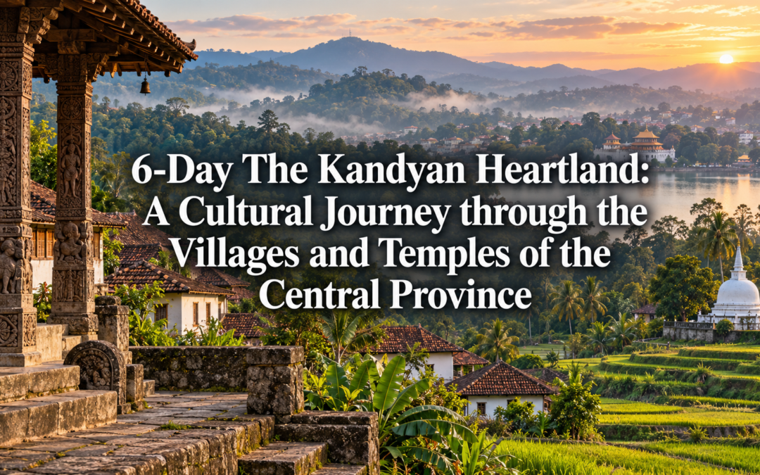
6-Day The Kandyan Heartland: A Cultural Journey through the Villages and Temples of the Central Province

6-Day The Kandyan Heartland: A Cultural Journey through the Villages and Temples of the Central Province

Kandy is one of the most visited cities in Sri Lanka, and rightly so. The Temple of the Tooth, the lake, the hill-country setting — all of it justifies the attention it receives. But Kandy is also a gateway that most travellers pass through rather than through and beyond. The villages and temple towns that sit within an hour of the city in every direction contain some of the finest examples of Kandyan art, architecture, and living cultural practice in the country, and almost none of them appear on the standard itinerary.

This is a journey into that surrounding landscape. Not the Kandy of the tourist circuit, but the Kandy of the working temple, the traditional craft workshop, the dance school where the ritual art form is taught to children who will perform it at ceremonies rather than for hotel audiences. Six days in the central province, moving slowly between villages and sacred sites and craft communities, gives you a version of Kandyan culture that the city centre alone cannot provide.

Day 1 – Arriving in Kandy and the First Evening

Arrive in Kandy in the afternoon and spend the first evening at the Temple of the Tooth, not as a tourist obligation but as a genuine introduction to what this journey is about. The evening puja, conducted three times daily, draws a crowd that is overwhelmingly local rather than foreign. The drumming that announces it begins outside and moves inward, the sound filling the courtyard and the surrounding streets. Devotees press forward with offerings of jasmine and lotus. The atmosphere is entirely unperformed.

Watch it from the side rather than the front. The best view of the ceremony is not the closest one, and standing slightly back from the main crowd gives you the space to take in the whole scene rather than just the shrine directly in front of you. This distinction, between the ceremony as spectacle and the ceremony as event, is one that will matter throughout this journey.

For accommodation in Kandy, Helga’s Folly remains the most characterful option in the city, its eccentric interior a piece of art in itself. For mid-range reliability with good hill views, Cinnamon Citadel on the river is comfortable and well-run.

Day 2 – Embekka and the Wooden Pillars

The Embekka Devale sits about fifteen kilometres south-west of Kandy, at the end of a narrow road that passes through paddy fields and small villages before arriving at a compound of considerable quietness and beauty. The shrine is dedicated to the god Kataragama, but it is the structure that houses it rather than the deity within that draws most visitors, and the distinction between art and devotion collapses entirely when you stand inside.

The wooden pillars of the Embekka Devale are among the finest examples of medieval Kandyan woodcarving in existence. Cut from a single type of hardwood and carved in the 14th century during the reign of King Vikramabahu III, they are covered from base to capital in figures of extraordinary variety and precision: dancers, wrestlers, swans, double-headed eagles, soldiers, lovers. The detail in some of the carvings is so fine that it requires close inspection to fully understand what you are looking at, and the longer you look, the more you find.

Visit in the morning when the light through the open sides of the structure falls directly across the carvings and the pilgrims who arrive throughout the morning add their own movement and colour to the scene. Allow two hours. It is the kind of place that punishes impatience.

Combine the visit with a stop at the Lankathilaka Vihara, a few kilometres away, a towering image house built into a granite outcrop with sweeping views of the surrounding paddy valley. The two sites together make a full and satisfying morning.

Day 3 – Aluvihara and the Written Word

The Aluvihara Rock Temple sits above the town of Matale, about thirty kilometres north of Kandy, built into a series of granite boulders that rise from the surrounding plain in a way that suggests deliberate placement. The cave temples here date from the 2nd century BC, and their painted interiors, depicting scenes from the life of the Buddha and the more sobering imagery of Buddhist hell realms, have a raw, vernacular energy quite different from the refined artistry of the larger royal temples.

What makes Aluvihara genuinely significant in the history of Buddhism is less visible than the paintings. It was here, in the 1st century BC, that the Theravada Buddhist canon was committed to writing for the first time, the oral tradition that had preserved the teachings for four centuries finally set down on ola leaf by a community of monks working in these caves. The written Pali canon that underlies Theravada Buddhism across the world originated in this rock temple above Matale, and that fact, when it lands properly, gives the place a weight that its modest appearance does not immediately suggest.

Several monks at Aluvihara continue the tradition of ola leaf manuscript writing, and it is sometimes possible to watch the process, the careful incising of text into prepared palm leaf with a metal stylus, in one of the working areas of the complex. Ask at the entrance whether this is available on the day you visit.

For accommodation in this area, Aloe Lanka Hotel in Matale is a clean, comfortable mid-range option well-positioned for both Aluvihara and the spice gardens of the surrounding district.

Day 4 – The Mask Makers of Amunugama

The village of Amunugama, near Balapitiya on the south-western coast but reachable as a day trip from Kandy via the scenic hill road, is one of the centres of traditional Kandyan mask making. The masks produced here serve a specific ritual function in the Kolam and Sanni Yakuma healing ceremonies, each one representing a particular demon or character from a fixed dramatic tradition that has been performed in the villages of the low country for centuries.

The carvers who work in Amunugama are working within a tradition that has its own grammar and its own rules. The proportions of each mask, the colours used, the specific features that identify each character, are not matters of individual artistic choice but of inherited convention. A carver who deviates significantly from the established form is not making art, he is making an error. Watching a master carver work within these constraints, producing something that is simultaneously completely conventional and completely individual, is a lesson in what tradition actually means when it is alive rather than preserved.

Several workshops in Amunugama welcome visitors and allow observation of the carving process. The finished masks are available for purchase at prices that reflect genuine craft rather than tourist markup, and buying directly from the carver rather than from a Kandy souvenir shop makes a considerable difference to both the price and the meaning of what you take home.

Day 5 – The Kandyan Dance School

Kandyan dance is one of Sri Lanka’s great cultural achievements, a ritual art form with deep roots in the healing ceremonies of the Kandyan kingdom that was codified into its current form over several centuries and is now recognised by UNESCO as an intangible cultural heritage. What most visitors see of it is a hotel performance, forty-five minutes of highlights on a stage, the dancers professional and technically accomplished and completely separated from the context that gives the form its meaning.

The dance schools of the Kandy district offer a different encounter. Several established schools, including the Kandy School of Dance near the city centre, conduct regular teaching sessions that are open to observation, and the experience of watching students at various stages of learning work through the same sequences, the teacher correcting posture and timing with the combination of patience and precision that good teaching in any discipline requires, gives you a much clearer sense of what the form actually demands.

Ask at your hotel about arranging a visit to one of the smaller village dance schools rather than the larger city institutions. The village schools, which prepare students for performance at temple festivals and healing ceremonies rather than tourist shows, operate within the tradition’s original context and the difference in atmosphere is immediate and significant.

Day 6 – The Temple Villages and the Return

Spend the final day on the circuit of smaller temple villages that surround Kandy within a radius of about twenty kilometres, each one containing something worth seeing and none of them receiving the attention they deserve.

The Gadaladeniya Vihara, near Embekka, is a 14th-century temple built in a style that shows clear South Indian influence in its stone construction and its decorative programme, unusual in the Kandyan context and historically significant as evidence of the cultural exchange that characterised the medieval period. The Degaldoruwa Cave Temple, east of Kandy, contains some of the finest 18th-century paintings in Sri Lanka, their colours still vivid, their narrative scenes from the Jataka tales told with a directness and humanity that makes them immediately accessible regardless of your familiarity with the tradition.

End the day back in Kandy at the lake, walking the road that circles it as the evening comes in and the Temple of the Tooth lights up on the far shore. It is a scene you have probably seen in photographs. In person, after six days in the villages and temple towns of the surrounding landscape, it carries a different weight. You understand better what it sits at the centre of.

Where to Stay

In Kandy, Helga’s Folly for character and Cinnamon Citadel for reliable mid-range comfort. For nights spent further afield during the circuit, Aloe Lanka Hotel in Matale is a practical and comfortable base for the northern sites. Several small guesthouses in the villages around Embekka offer basic accommodation for travellers who want to base themselves closer to the southern temple circuit and experience the village pace at first hand.

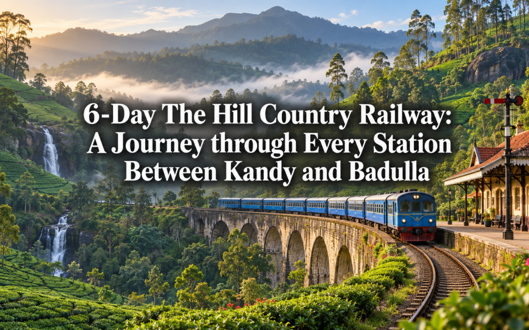
6-Day The Hill Country Railway: A Journey through Every Station Between Kandy and Badulla

6-Day The Hill Country Railway: A Journey through Every Station Between Kandy and Badulla

Most travellers ride the Kandy to Ella stretch once, photograph the Nine Arches Bridge from the obligatory viewpoint, and consider the hill country railway experience complete. There is nothing wrong with that approach, but it treats one of the great railway journeys of the world as a single Instagram opportunity rather than what it actually is, a slow unspooling line of small stations, each with its own town, its own viewpoints, its own tea estate walks, that the through-travellers on a single express journey never have the chance to discover.

This route takes the opposite approach entirely. Rather than riding the line once from end to end, it stops deliberately at the stations most travellers pass through without a second glance, Hatton, Nanu Oya, Pattipola, Ohiya, and Demodara among them, treating the railway itself as a spine connecting six days of exploration rather than a single scenic backdrop for a journey already planned.

Day 1 — Kandy and the Journey Begins

Begin in Kandy, where the hill country railway officially starts its climb into the highlands. Spend the morning at the station itself, a working colonial-era building that still feels functional rather than preserved, watching the platform activity as the morning trains prepare to depart. The station predates much of what travellers associate with the broader railway romance, and understanding its role as the gateway to everything that follows gives weight to the stops ahead.

Take the early afternoon train toward Hatton rather than rushing straight through to Ella. The journey from Kandy climbs steadily through tea estates that grow progressively higher and cooler as the train ascends, the architecture of the stations themselves shifting from colonial grandeur near Kandy to smaller, more functional buildings as the altitude increases.

Arrive in Hatton by late afternoon. The town itself has little obvious charm at first glance, a working hill station servicing the surrounding tea estates rather than a destination built for visitors, but that absence of polish is exactly the point of this stop. For accommodation, Hatton National Hotel offers clean, comfortable mid-range rooms with reasonable views, while Tea Trails properties nearby provide a considerably more luxurious option for those wanting a genuine planter’s bungalow experience. Dinner at either is straightforward but reliable, the rice and curry here carrying the particular character of high-altitude Sri Lankan cooking, warmer spicing to counter the cooler evening air.

Day 2 — Hatton and the Adam’s Peak Approach

Hatton serves as the main access point for Adam’s Peak pilgrims travelling from the Maskeliya direction, and even without attempting the climb itself, the surrounding landscape rewards a full day of exploration. Spend the morning walking through the tea estates that surround the town, arranging access through your accommodation if needed, observing the pickers at work in the cooler morning hours before the day’s heat builds.

The drive or short train connection to Maskeliya, a smaller town nestled beside the Castlereagh Reservoir, offers some of the most photogenic tea country scenery in the entire hill range, the reservoir’s still water reflecting the surrounding estates with a clarity that the more famous viewpoints further along the line rarely match. Spend the afternoon here before returning to Hatton for a second night, the rhythm of this journey deliberately slower than the standard through-travel pace.

Day 3 — Nanu Oya and Nuwara Eliya

Take the morning train from Hatton to Nanu Oya, a relatively short journey that nonetheless climbs further into genuinely cool hill country air. Nanu Oya itself is little more than a station serving as the access point for Nuwara Eliya, the well-known colonial hill station a short drive away, but the station platform itself offers some of the most reliable mountain views along the entire line on a clear morning.

Spend the day in Nuwara Eliya exploring beyond the obvious tourist circuit, the Victoria Park gardens, certainly, but also the smaller tea factory tours available on the town’s outskirts and the golf course that retains a genuinely colonial atmosphere even decades after independence. For accommodation, The Grand Hotel offers the most atmospheric colonial-era stay, while more budget-conscious travellers will find comfortable options throughout the town centre. Dinner at the Hill Club, with its strict dress code and old-world formality, is worth experiencing at least once for the sheer specificity of the atmosphere, even if the food itself is secondary to the setting.

Day 4 — Pattipola, the Highest Station

Return to the railway the following morning, taking the short journey from Nanu Oya to Pattipola, the highest railway station in Sri Lanka at just over 1,800 metres above sea level. The station itself is small and unassuming, easily missed if you weren’t specifically looking for it, but the surrounding landscape, dense cloud forest pressing close against the tracks, mist rolling through with little warning even at midday, makes the stop worthwhile entirely on its own atmospheric merits.

From Pattipola, arrange transport or walk where feasible toward the entrance to Horton Plains National Park, considerably closer from this side than the more commonly used Ohiya approach further along the line. Even a partial visit to the plains, weather permitting, offers access to World’s End and the dramatic escarpment views without the crowds that gather at the more popular entrance points.

Spend the night in simple accommodation near Pattipola itself if available, or return to Nanu Oya for a more comfortable second option, the cold mountain air at this altitude making for genuinely restful sleep regardless of which option you choose.

Day 5 — Ohiya and the Walk to World’s End

Travel onward to Ohiya, a station that exists almost entirely because of its proximity to Horton Plains rather than any settlement of its own. From here, the walk into the park follows a different route from the Pattipola approach, longer and considerably less travelled, passing through forest that feels noticeably wilder than the more manicured sections closer to the main park entrance.

The walk to World’s End from Ohiya takes several hours each way and should be undertaken with a local guide, both for navigation and for the genuine possibility of encountering wildlife along less frequented sections of trail. The reward, when the weather cooperates, is the same dramatic 880-metre escarpment drop that draws crowds from the main entrance, experienced instead in near-total solitude.

Return to Ohiya by early evening, the station itself offering little beyond basic shelter, so plan to continue onward toward Bandarawela or Ella for the night’s accommodation, the train schedule permitting a relatively short onward journey after a physically demanding day.

Day 6 — Demodara and the Journey’s End

The final day brings you to Demodara, home to the famous Nine Arches Bridge and the equally remarkable Demodara Loop, where the railway line spirals through a tunnel beneath itself to manage the steep gradient, an engineering solution of genuine cleverness that most travellers photographing the bridge above never realise lies directly beneath their feet.

Spend the morning exploring both features properly rather than rushing through for a single photograph. Walk the full loop where the terrain allows, understanding the engineering logic that shaped this final dramatic section of the line before it continues onward toward Ella and ultimately Badulla. The bridge itself, photographed by every visitor to the hill country at some point, takes on a different significance once you understand it as the final flourish of a railway line you have now followed, station by station, for six days rather than a single isolated landmark glimpsed from a moving train.

Conclude the journey in Ella or continue onward to Badulla, the official end of the line, before beginning whatever return journey your onward travel requires. Whichever you choose, the railway itself, no longer simply a scenic backdrop glimpsed between destinations, will feel like something considerably more substantial, the genuine spine of a hill country journey rather than a single celebrated stretch of track.

Practical notes: This route is best undertaken between January and April, when visibility along the higher altitude sections is most reliable and walking conditions around Horton Plains are driest. Train schedules along this line can be unpredictable, so building flexibility into each day’s plans is essential, and a local guide is strongly recommended for both the Ohiya and Pattipola approaches to Horton Plains given the more remote and less marked nature of these trails compared to the main entrance.

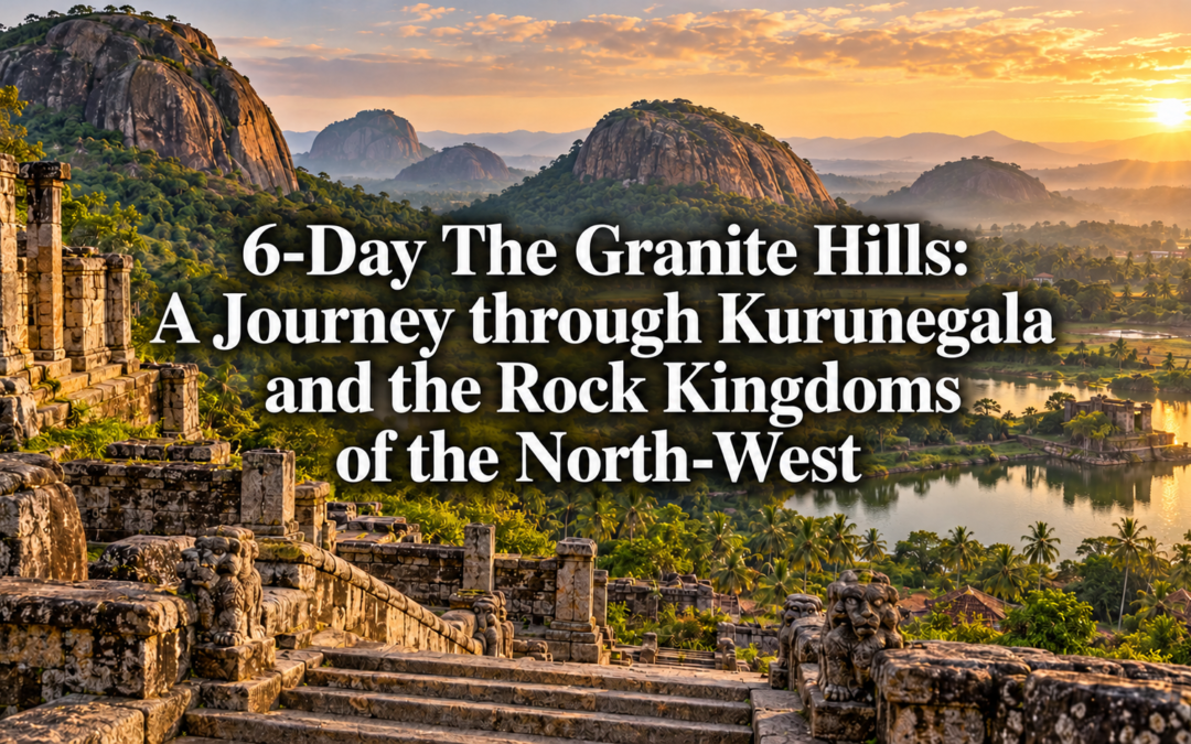
6-Day The Granite Hills: A Journey through Kurunegala and the Rock Kingdoms of the North-West

6-Day The Granite Hills: A Journey through Kurunegala and the Rock Kingdoms of the North-West

The North Western Province plains are not what most people picture when they think of Sri Lanka’s ancient history. That picture usually involves Sigiriya, or the dagobas of Anuradhapura, or the carved figures of Polonnaruwa. All of those places are extraordinary. But rising from the flat agricultural land of the Kurunegala basin, with considerably less fanfare and considerably fewer visitors, are granite outcrops that conceal cave temples, ancient inscriptions, and hermitage sites that predate some of the most celebrated monuments in the cultural triangle.

This is a journey for the traveller who finds ancient history more interesting when it is not surrounded by a car park. Six days through the rock kingdoms of the north-west, moving between the medieval fortress of Yapahuwa, the forest caves of the upper hermitage circuit, and the agricultural villages of the Kurunegala basin whose farming traditions have remained essentially unchanged for two millennia.

Day 1 — Kurunegala and the Evening Rock

Kurunegala is the practical base for this journey and a town worth arriving in slowly. The covered market near the bus stand operates through the late afternoon with a produce section that reflects the agricultural economy of the surrounding district honestly. The Kurunegala Municipal Market on Colombo Road is at its most lively between three and six in the evening when the day’s farming families are clearing their remaining stock before the drive home.

For dinner, Hotel Rohansha on the main street serves a reliable rice and curry from six in the evening, the kitchen changing its accompaniments daily. The jackfruit curry here, when it appears, is worth ordering without hesitation. For accommodation, Kurunegala Rest House on the tank road is the most atmospheric option, a government property with a veranda overlooking the old Kurunegala Wewa tank. For mid-range reliability, Diya Dahara Hotel on Colombo Road offers comfortable rooms and a breakfast that includes both Sri Lankan and Western options.

Climb the Ethagala Rock above the town before dinner if the timing allows. The path takes twenty minutes and arrives at a view across the surrounding plain that makes the scale of the ancient irrigation system visible for the first time, the tanks catching the last light in the middle distance and the granite outcrops of the surrounding district rising from the flat land in every direction.

Day 2 — Yapahuwa and the Medieval Fortress

Yapahuwa sits about fifty kilometres north of Kurunegala, a medieval rock fortress built on a granite outcrop that rises almost ninety metres from the surrounding plain. It served as the capital of Sri Lanka briefly in the late 13th century and housed the Sacred Tooth Relic during a period of considerable political instability. The South Indian army that took the relic from Yapahuwa in 1284 effectively ended its period of significance, and the site has been largely undisturbed since.

The ornamental stairway that leads to the upper palace platform is the architectural centrepiece of the site, its carved figures and decorative panels executed with a refinement that the remoteness of the location makes surprising. The lion figures flanking the upper entrance are among the finest examples of medieval Sri Lankan sculpture, and the detail in the surrounding decorative carving rewards close inspection.

Arrive at opening time at six in the morning. The rock in the early light, with the mist still in the surrounding plain and the birds active in the scrub forest at the base, has a quality that the same scene at midday entirely lacks. The entrance fee is around five hundred rupees for foreign visitors and the site is rarely crowded before nine.

For breakfast before the visit, the small tea shop in Maho town, about ten kilometres from Yapahuwa, opens at five thirty and serves plain tea and fresh bread from the local bakery. It is a straightforward establishment that does not require a name to find, being the only place open at that hour on the main road.

For lunch after Yapahuwa, Hotel Rasa in Maho town serves a good rice and curry from eleven in the morning and the fish preparation changes daily depending on what has come from the surrounding tanks. The tank fish curry here has a distinctly different flavour from the coastal preparations further south, lighter and less heavily spiced.

Day 3 — The Ridi Vihara Caves

The Ridi Vihara complex, about thirty kilometres south-west of Kurunegala, is known primarily for its lower cave temple with its extraordinary Dutch Delft tiles and its well-preserved Kandyan paintings. But the upper cave section, reached by a steep path above the main complex, is visited by almost nobody and contains a different and older layer of the site’s history.

The upper caves were used by forest-dwelling monks before the lower complex was developed into its current form, and the atmosphere up here has a raw, unconstructed quality that the more finished lower temple lacks. The rock faces retain traces of very early painting, faded almost to nothing in places but still legible in the better-sheltered sections. The views from the upper level across the surrounding agricultural landscape, low hills covered in coconut and rubber with the occasional tank reflecting the sky, have a quality that the lower temple, enclosed by its own walls, cannot offer.

Allow the full morning for Ridi Vihara, beginning with the lower temple before the morning puja at eight brings the devotee crowd, then climbing to the upper section while the lower temple is busy. A small tea shop at the base of the lower temple entrance, run by a family from the village below, serves plain tea and coconut roti from early morning. It is the correct breakfast for a cave temple morning.

For accommodation on this day, returning to Kurunegala keeps the logistics simple. Kurunegala Rest House remains the best option and the drive back from Ridi Vihara takes about forty minutes on roads that are pleasant in the late afternoon.

Day 4 — Arankele and the Forest Hermitage

The Arankele forest hermitage, north of Kurunegala, is among the most important early Buddhist monastic sites in Sri Lanka and among the least visited. Established in the 6th century AD for monks following the forest-dwelling meditation tradition, its stone platforms and pathways sit in a jungle that has been allowed to continue its relationship with the ruins in the most honest possible way. Trees grow through the meditation walkways. Roots have lifted the stone pathways. The forest presses in on every side.

The drive to Arankele takes about forty minutes from Kurunegala on a road that narrows steadily as it approaches the site. There is no entrance gate, no ticket booth, and no visitor centre. There is a monk’s residence at the edge of the site where a small donation is appropriate, and beyond it the ruins extending through the forest in a silence that is the most immediate and affecting thing about the place.

Bring food and water from Kurunegala. There is nothing available near the site, which is appropriate to its character. A packed lunch eaten on one of the stone platforms, with the forest sounds as the only accompaniment, is one of those simple travel experiences that photographs cannot communicate and that stays with you regardless.

For dinner back in Kurunegala, Hotel Acme on Colombo Road serves a good devilled cuttlefish and a freshly made pol roti in the evenings that the local population considers a reliable standard. It opens at six and is busy by seven.

Day 5 — The Tank Circuit and the Village Temples

The agricultural landscape between Kurunegala and the coast is threaded with ancient irrigation tanks, each serving a farming community whose relationship with the water has not changed significantly in its essentials for two thousand years. The village temples that sit beside these tanks are working religious institutions rather than tourist sites, maintained by the communities they serve and used daily.

Spend the day driving the back roads between Kurunegala and Chilaw, stopping at village temples as you encounter them. The Munneswaram Temple complex east of Chilaw, one of the oldest Hindu sites on the west coast, is the most significant stop on this stretch, its five separate kovils serving different communities and its devotional atmosphere constant throughout the day. The temple predates the Portuguese period by several centuries and the principal Shiva shrine draws pilgrims from across the island year-round.

For lunch on this day, the Muslim Hotels along the Chilaw main road serve a rotating biriyani and short eats selection that changes daily. The fish cutlets at the establishment nearest the covered market, made fresh in the morning and sold out by early afternoon, are a local standard worth timing your arrival for.

The Chilaw Fish Market on the lagoon edge operates through the morning and is worth a brief stop on the way back toward Kurunegala. The dried fish section toward the rear sells varieties specific to this coast that are unavailable in Colombo’s supermarkets at any price.

Day 6 — The Return Through the Coconut Country

The drive back to Colombo from Kurunegala via the old coastal road rather than the expressway passes through the full length of the coconut triangle, the broad agricultural lowland where coconut cultivation has dominated the landscape for over a century. The estates here are old and productive, the trees tall and widely spaced, the ground beneath kept clear in the traditional manner.

Stop at Dambadeniya on the way south, the small town that served briefly as the royal capital of Sri Lanka in the 13th century. The ruins of the palace complex and the Vijayasundarama temple sit above the town on a rocky hill with views across the coconut estates that have replaced the medieval agricultural landscape in every direction. The site receives almost no visitors and the caretaker will usually offer a tour of considerable depth and enthusiasm for a small donation to the temple fund.

The final stretch into Colombo from the north passes through Negombo and the coastal plain, the city arriving gradually through the suburban sprawl. After six days among granite outcrops and forest hermitages and ancient tank villages, the return to the capital has the quality that good journeys always produce on their return leg. The city feels both familiar and slightly reduced, and that reduction is the best measure of how much the journey actually gave you.

Practical Notes

The best time for this route is between December and April when the dry season keeps the forest trails clear and the morning light on the tanks is at its finest. Yapahuwa is best visited at opening time to avoid the mid-morning coach groups. The Arankele forest trails can be muddy after rain and proper walking shoes are advisable year-round. Carry cash throughout as ATM availability outside Kurunegala town is limited.

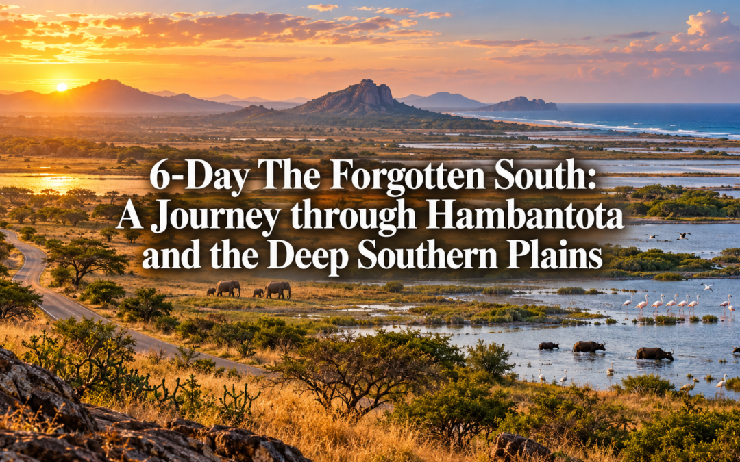
6-Day The Forgotten South: A Journey through Hambantota and the Deep Southern Plains

6-Day The Forgotten South: A Journey through Hambantota and the Deep Southern Plains

The southern coast of Sri Lanka between Galle and Tangalle draws visitors reliably and deservedly. The beaches are good, the accommodation well-developed, and the whale watching off Mirissa is among the finest in the world. But the landscape that begins east of Tangalle, the deep southern plains stretching toward Tissamaharama and the dry zone interior, belongs to a different Sri Lanka entirely. Flatter, hotter, and considerably less visited, it carries a history that goes back further than most of the island’s more celebrated monuments and a natural world of flamingos, elephants, and migratory birds that the coastal holiday never reaches.

Six days through the forgotten south covers the salt flats of Hambantota, the sacred lake at Tissamaharama, the flamingo grounds of Bundala, and the dry zone farming communities of the southern plains whose agricultural traditions have continued without significant interruption for over two thousand years.

Day 1 — Hambantota and the Salt Coast

Hambantota sits on the southern coast about two hours east of Tangalle, a town that has been transformed in recent years by the construction of a large Chinese-built port that now dominates the bay and has changed the character of the surrounding landscape considerably. But the older Hambantota, the salt-producing coastal town that existed here for centuries before the port arrived, is still visible in the salt flats that line the coast road east of the harbour and in the fishing community that continues to work the bay despite the industrial transformation around it.

The salt flats between Hambantota and the Bundala National Park boundary are one of the more unusual landscapes on the southern coast, the shallow evaporation pans stretching inland from the road in a series of white and pink and pale green panels depending on their stage of production. The flamingos that gather on the margins of the pans in the right season, between November and March, arrive in flocks of several hundred and their pink against the white salt crust and the flat blue sky is one of those images that requires no photographic skill to capture and no prior knowledge of flamingos to appreciate.

For accommodation, Peacock Beach Hotel on the Hambantota beach road offers reliable mid-range rooms with sea views and a kitchen that handles fresh seafood competently. For budget travellers, Oasis Hotel near the town centre provides clean basic rooms at around two thousand rupees per night within easy reach of the salt flat road. For dinner on the first evening, Hotel Sunshine on the main street serves a good crab curry in the Tamil style that the southern coast kitchen makes with a spice blend heavier on pepper than the Colombo versions and considerably better for it.

Day 2 — Bundala and the Flamingo Wetlands

Bundala National Park is a coastal wetland of international significance, its shallow lagoon system designated a Ramsar wetland site and supporting one of the most varied bird populations on the southern coast. The park is compact and drives through it are unhurried, the tracks running along the lagoon margins and through the coastal scrub in a circuit that takes about three hours at a comfortable pace.

The flamingo population at Bundala is the most reliable on the island, present in significant numbers between November and March and visible from the park tracks without needing to leave the vehicle. The greater flamingo is the primary species, its pink plumage deepening in the breeding season to a colour that is almost improbably vivid against the pale lagoon water. The painted stork and spoonbill colonies in the inner lagoon sections are equally impressive during the nesting season, and the elephant population that moves through the park between the southern scrub forest and the coastal wetlands adds a wildlife dimension that most coastal wetland parks cannot match.

Arrange a jeep through your accommodation at around four thousand rupees for a three-hour morning drive. The park opens at six and the first two hours produce the best birdlife activity and the most reliable elephant sightings. Hotel Bundala near the park entrance offers basic but clean accommodation for those who want to be positioned for the early morning entry without driving from Hambantota, at around two thousand five hundred rupees per night.

For lunch after the morning drive, the kade at the Bundala park entrance sells plain tea and coconut biscuits that are the correct refreshment after three hours in the dry zone heat. A proper lunch is better taken back in Hambantota at Hotel Starfish on the beach road, which serves a good rice and curry from eleven and stays open through the afternoon.

Day 3 — The Drive to Tissamaharama

The road from Hambantota to Tissamaharama passes through the flat, open terrain of the deep southern plains, the landscape shifting from the salt coast to the agricultural dry zone interior in a transition that is immediate and visible. The temperature rises. The vegetation changes. The paddy fields that line the road are fed by a tank system that predates the Portuguese period by over a thousand years and still operates on the same seasonal logic that the ancient engineers designed into it.

Tissamaharama, known locally as Tissa, is a small town built around the Tissa Wewa, an ancient tank of considerable size whose origins are attributed to King Kavantissa in the 3rd century BC. The tank is the organisational centre of the town and the sacred centre of the surrounding landscape simultaneously, the Tissamaharama Dagoba rising above the southern bank with a white dome visible from considerable distances across the flat terrain.

The dagoba is one of the largest in Sri Lanka and one of the oldest, its original construction attributed to King Kavantissa and its subsequent enlargements reflecting the continuous sacred importance of the site through the medieval period. The evening puja at the temple, conducted as the light fails and the dagoba is illuminated against the darkening sky, is one of the more affecting devotional experiences on the southern circuit and worth timing your arrival for.

For accommodation in Tissa, Refresh Hotel on the lake road offers good mid-range rooms with tank views and a kitchen that handles fresh fish well. For a more atmospheric option, Priyankara Hotel near the dagoba provides comfortable rooms at a slightly lower price point and a warmth that the larger properties cannot replicate. For budget travellers, King Hotel near the bus stand offers clean basic rooms at around two thousand rupees per night.

For dinner, Hotel Chandrika on the main street serves a good rice and curry from six in the evening with a rotating accompaniment selection that the kitchen takes seriously. The devilled prawn here, made with the local lagoon prawns, is the evening dish worth ordering.

Day 4 — The Tissa Tank and the Sacred Landscape

The Tissa Wewa in the early morning, before the town wakes and the traffic builds on the surrounding roads, has a stillness that the midday scene entirely lacks. The elephants that come to the tank edge at dawn, moving out of the Yala buffer zone through the town margins, are a routine presence that the local community acknowledges without drama and that the visitor encounters with a surprise that the locals find quietly amusing.

Walk the tank bund in the early morning before six. The circuit takes about forty minutes at a slow pace and the birdlife along the water’s edge, the painted storks fishing in the shallows and the purple herons standing in the margins with their characteristic patience, is excellent throughout the year. The dagoba reflected in the tank water in the first light is the image that most visitors to Tissa carry home and that no photograph quite captures, the white dome and the pale water and the birds moving between them in the silence before the town day begins.

The Sandagiri Dagoba on the southern edge of Tissa town is smaller and less visited than the main Tissamaharama Dagoba but of comparable antiquity, its setting in a quieter part of the town giving it an atmosphere of unforced contemplation that the more famous site, busy with devotees and visitors throughout the day, cannot always provide. Allow an hour here in the late morning before the heat builds.

For lunch, Hotel New Tissa on the lake road serves a good kottu roti and a fresh juice combination from midday and the outdoor tables with tank views are worth requesting specifically. The buffalo curd with treacle served as a dessert here, made with curd from the local buffalo dairies that supply the southern coast, is the detail that distinguishes this lunch from the same meal eaten anywhere else.

Day 5 — The Southern Plains Villages

The farming communities of the deep southern plains between Tissa and the Hambantota coast maintain an agricultural tradition that has continued without significant interruption for over two thousand years, their paddy cultivation organised around a tank system of considerable sophistication and their community governance structured around the water management decisions that determine the success or failure of each season.

Spend the day driving the back roads between Tissa and the Bundala boundary, stopping at the village tanks and the temple sites that appear at intervals through the agricultural landscape. The Debarawewa Tank, a few kilometres from Tissa, is the most significant of the smaller village tanks in the immediate area, its origins attributed to the same period as the Tissa Wewa and its bund still maintained by the surrounding farming community through a system of collective labour obligation that has been in operation since the ancient period.

The Kirinda Temple, about twelve kilometres south of Tissa on the coastal road, sits on a rocky headland above the sea with a white dagoba visible from the water and a setting that combines the sacred and the scenic in a way that is specific to the southern Sri Lankan coast. The temple is believed to mark the landing point of Queen Viharamahadevi, whose story connects this coast to the sacred geography of the island’s Buddhist tradition, and the view from the headland across the Indian Ocean in the late afternoon, with the lighthouse visible to the east and the coast stretching west toward Hambantota, is worth the short drive from Tissa specifically.

For dinner near Kirinda, the coastal restaurants on the Kirinda beach road serve grilled fresh fish at prices that reflect a fishing community selling directly to the surrounding neighbourhood rather than to a tourist market. A grilled seer fish with rice and three accompaniments costs about five hundred rupees and the quality of the fish, pulled from these waters that morning, is the argument for this detour in a single ingredient.

Day 6 — The Return Through the Plains

The drive back from Tissamaharama to Colombo via the southern expressway takes about three and a half hours and passes through the full transition from the dry zone southern plains to the wet zone coastal lowlands in a single morning. The landscape change, from the flat, open southern terrain to the denser, greener vegetation of the wet zone, happens somewhere around Mattala and is visible and immediate in the way that Sri Lankan ecological transitions always are.

Stop at Mulkirigala on the return, about thirty kilometres north of Tangalle, a rock temple complex of considerable importance that sits on a granite outcrop above the southern plains and rivals Dambulla in both scale and atmosphere while receiving a fraction of the visitors. The cave temples built into the vertical face of the rock contain paintings and sculpture from the 1st century BC onwards, and the climb to the dagoba at the summit, through a series of cave levels connected by steep stone staircases, is rewarded with a view across the southern plains that makes the geography of the past six days suddenly coherent from above.

For a farewell lunch before the expressway, Tangalle Bay Hotel restaurant near the Tangalle junction serves a good rice and curry from midday with a fresh prawn preparation that uses the local lagoon catch. The drive back to Colombo from there takes about two and a half hours on the southern expressway, the deep southern plains receding behind the road in the early afternoon and the city assembling itself around the expressway exit in a way that feels, after six days in the flat open south, considerably more compressed than it did before you left.

Practical Notes

The best time for Bundala and the flamingo grounds is between November and March when the migratory birds are present in the largest numbers. The Tissamaharama Perahera, held annually in July, transforms the dagoba and the surrounding town with processions and ceremony that is worth timing a visit around if the festival atmosphere appeals. Jeep hire at Bundala is best arranged through your accommodation the evening before. Carry cash throughout as ATM access outside Hambantota and Tissa towns is limited.